| Central Great Plains
Overview and
Emporia State University Emeritus |

| Central Great Plains
Overview and
Emporia State University Emeritus |
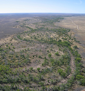
The landscape, or the lay of the land, is the study of geomorphology, which deals with the description, age, and origin of landforms as well as how landforms change through time. These lectures were developed originally for a course in field geomorphology at Emporia State University (ESU). The lectures have been revised and updated for online presentation with an emphasis on geomorphology of landscape regions in Kansas and Nebraska.
| Chapter | Subject |
|---|---|
| Chap. I | Introduction and geomorphology |
| Chap. II | High Plains, Pine Ridge, White River Badlands |
| Chap. III | Arkansas River and Platte River valleys |
| Chap. IV | Nebraska Sand Hills |
| Chap. V | Smoky Hills, Blue Hills, and Chalk Buttes |
| Chap. VI | Flint Hills and Red Hills |
| Chap. VII | Glacial Hills |
| Chap. VIII | Osage Cuestas and Chautauqua Hills |
| Chap. IX | Cherokee Lowlands and Ozark Plateau |
| Chap. X | Conclusions, acknowledgments, references |
Note: these webpages and illustrations are intended for viewing on a laptop computer, large tablet, or desktop computer with a monitor at least 10 inches in size. A smartphone or small tablet is not suitable for viewing these webpages.
 Return to academic webpages.
All rights reserved (2022).
Text and images © by the authors.