| Tennessee
J.S. and S.W. Aber |
|
| Tennessee
J.S. and S.W. Aber |
Both days were mostly to partly cloudy with light to moderate wind from the south/southwest. The ground was wet and rivers running high, after considerable rain a couple days earlier. Conifer trees were green, and cool-season grass was beginning to green up, but most other deciduous vegetation was still dormant following an unusually cold winter.
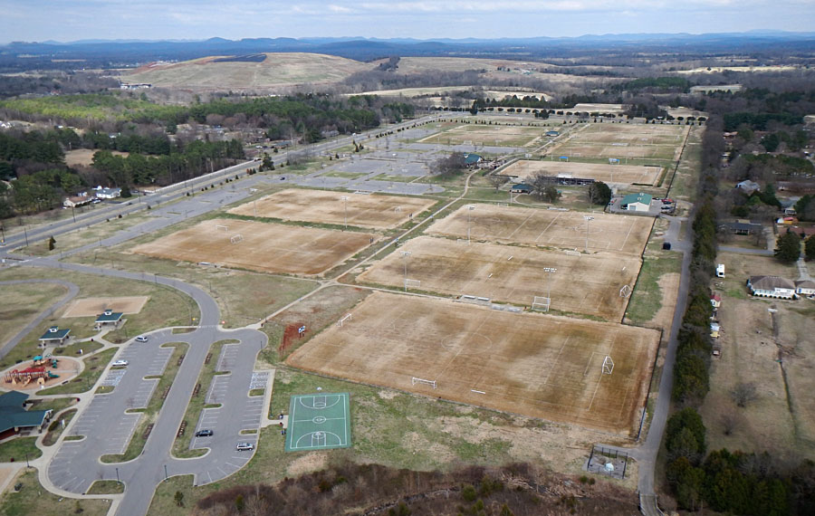
| Overviews of the soccer fields complex with a large landfill (hill) in the background. Left: Nikon Coolpix shot with uniform lighting. Right: Canon Elph view with patchy illumination through broken cloud cover. | 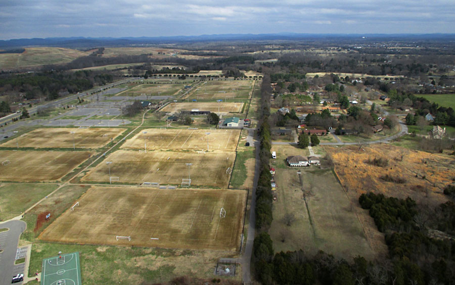 | |||
| Left: view southward showing many puddles in the field beyond the park. Right: unusual parking-lot arrangement adjacent to a soccer-field pavilion. | 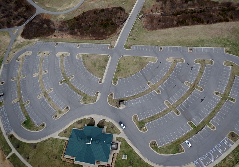 | |||

| Vertical shots. Left: park pavilion and small "junior" soccer fields. Right: different soccer fields are marked by white and red lines. Note variations in grass/soil color due to moisture content. | 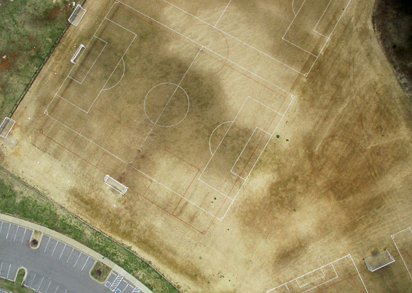 | |||
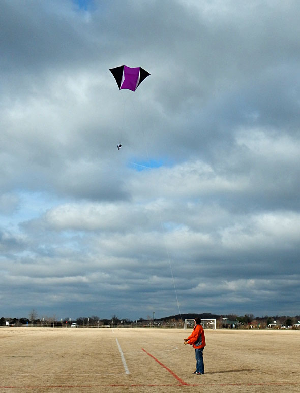
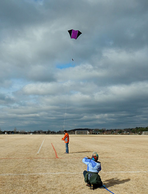
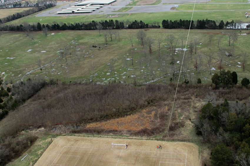
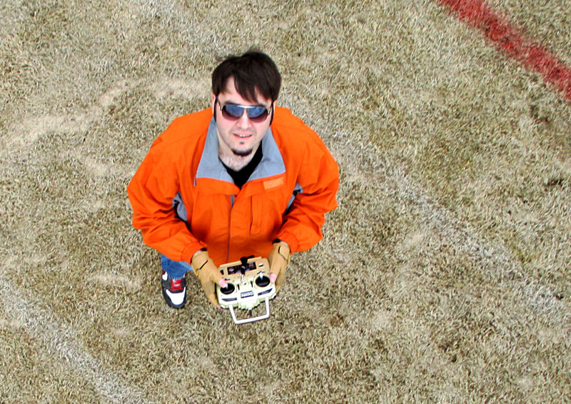
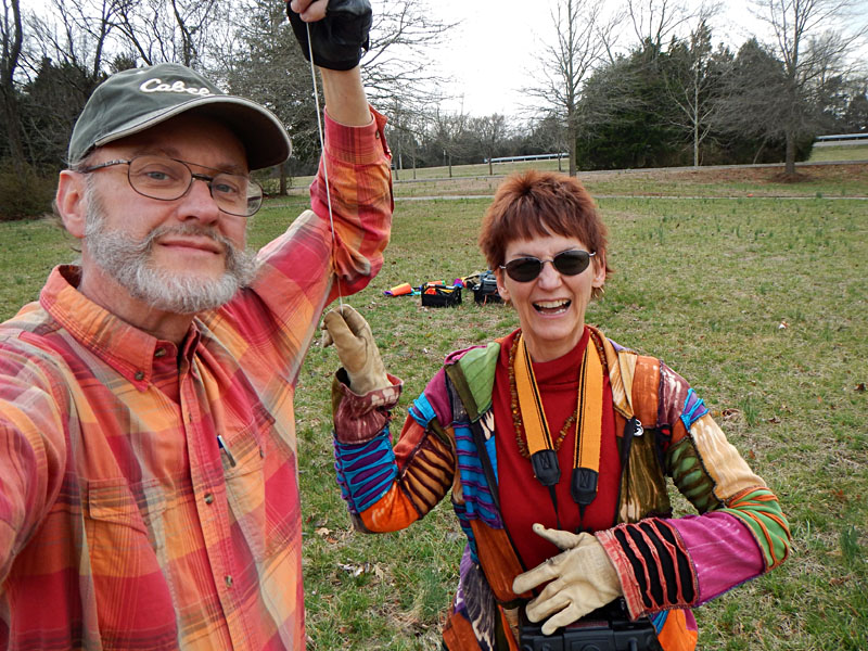
JWA bringing down his kite after conducting successful KAP on the soccer field (left). This kite is called the fled and was designed by Brooks Leffler for light-wind KAP. Right: self-portrait taken at camera liftoff.
|  
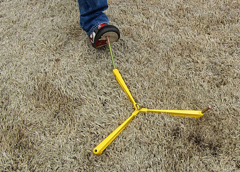
Left: storage case with camera rig, radio control, and various accessories. Right: inserting a stake for The Claw, which proved to be an excellent ground anchor.
| 
|

| West Fork Stones River. Left: view to southeast with the Greenway beside the river. Right: looking westward showing Thompson Lane bridge over the river, and McFadden Farm Monument of the Stones River National Battlefield is visible in the background. | 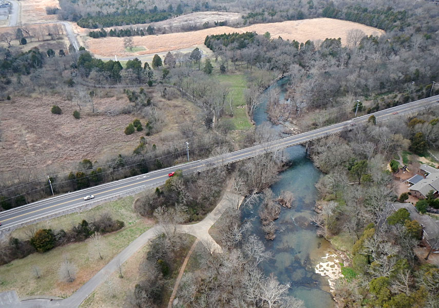 |
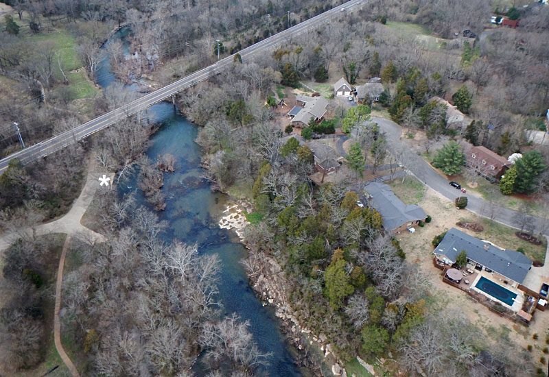
| Left: McFadden's Ford is marked by shallow rocks in the river channel near scene center with housing on York Court cul-de-sac to right. Asterisk (*) marks canoe access to the river. Right: vertical shot over the river channel. | 
|
| the camera rig prior to launch. |