KAP Mosaic Images of Ninnescah Study Site
 These vertical photographs were taken by ESU students during a geomorphogy field trip on 18
Oct. 1997. Individual photos have been resampled digitally into UTM grid and pasted together to form
these mosaics (© J.S. Aber).
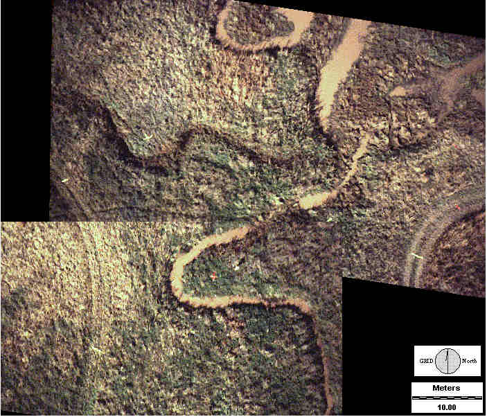
These vertical photographs were taken by ESU students during a geomorphogy field trip on 18
Oct. 1997. Individual photos have been resampled digitally into UTM grid and pasted together to form
these mosaics (© J.S. Aber).
View over upstream portion of meandering channel system. Muddy water fills potholes on outside bends of
meanders, most of which are located where channel curves sharply.
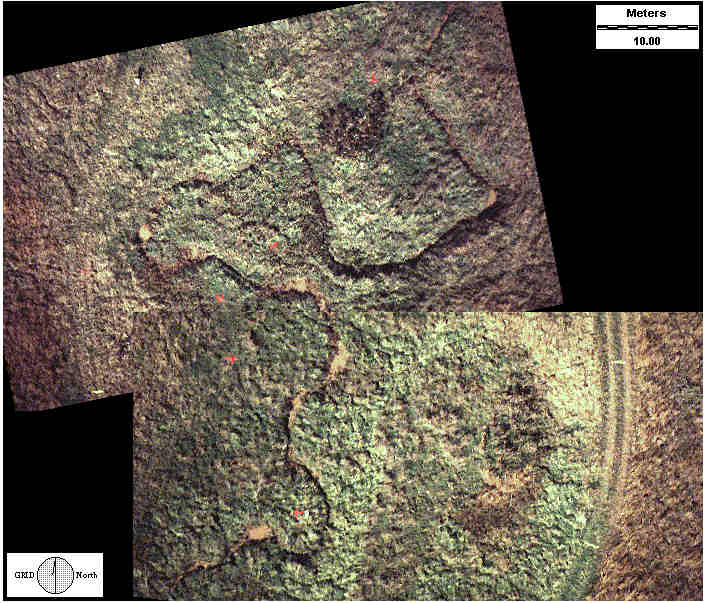
View over downstream portion of meandering channel system. Channels in upper center and left portions
of view are parts of an abandoned drainage route. Active stream feeds into a small delta at upper right
corner of view.
 Return to Ninnescah project.