Environmental Research
Cheyenne Bottoms, Kansas
 |
|
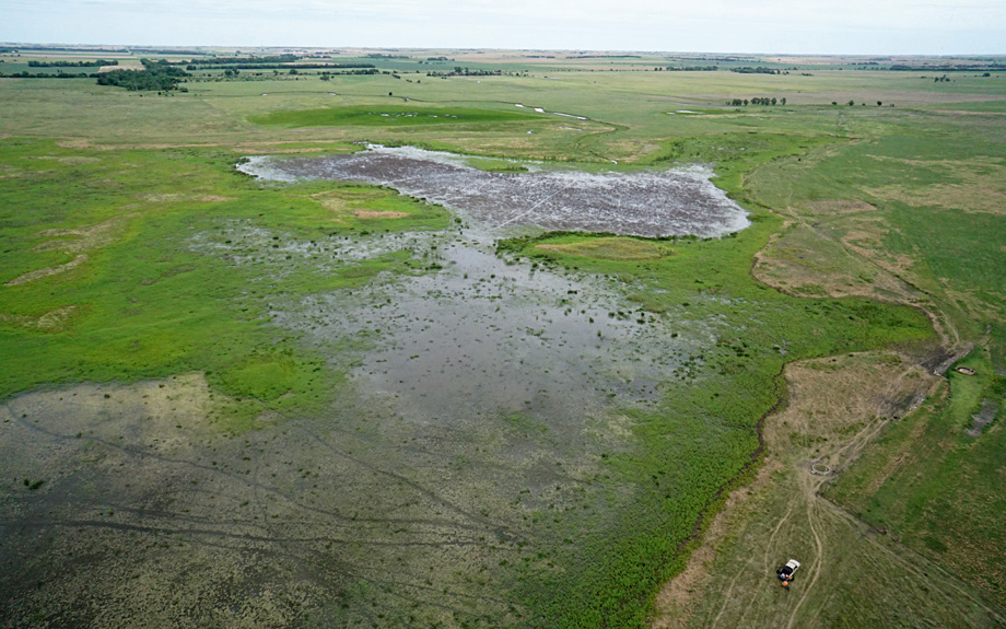
Our primary method is kite aerial photography (KAP) to capture the bird's-eye view of what the marshes and pools look like from above. Our typical flying height is 300 to 500 feet above the ground. A few times, we have employed a small helium blimp to acquire similar aerial views, but we have not utilized unmanned aerial systems (UAS), commonly known as drones. Kites are a passive, quiet method for aerial photography that does not disturb the birds or other wildlife.
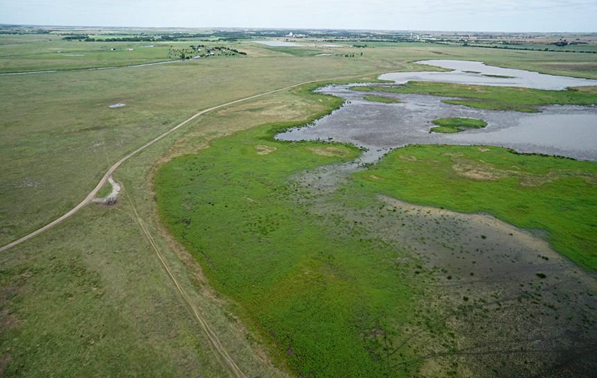  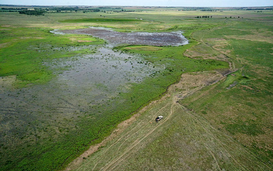 |
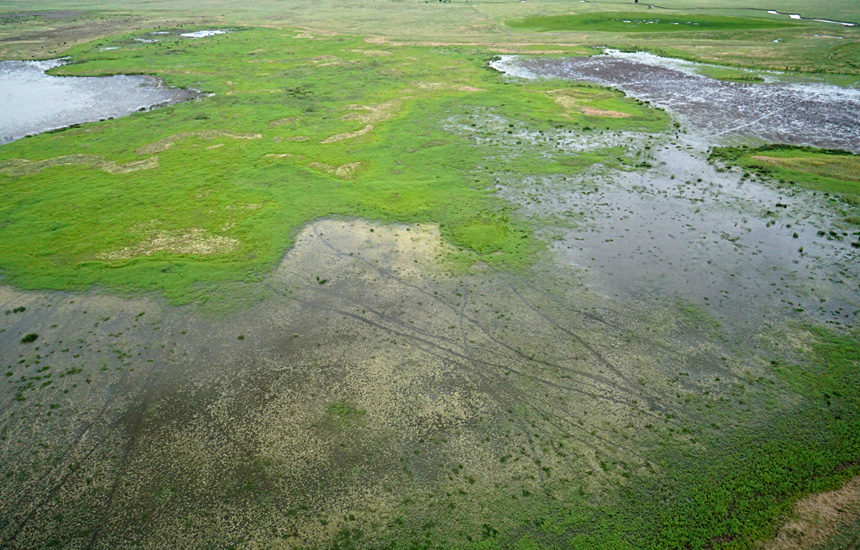
| Northward views of the bare mudflat with bright-green water smartweed along the margins. Dark lines across the mudflat are tracks left by cattle. | 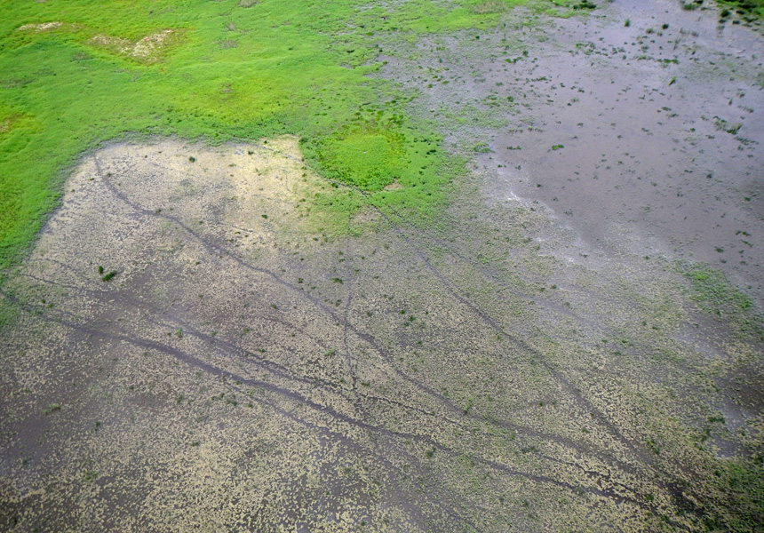 |
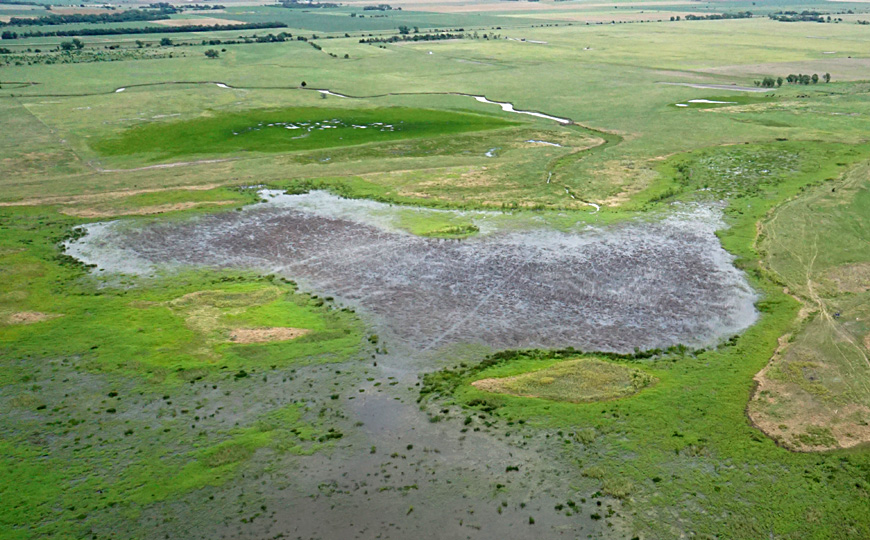
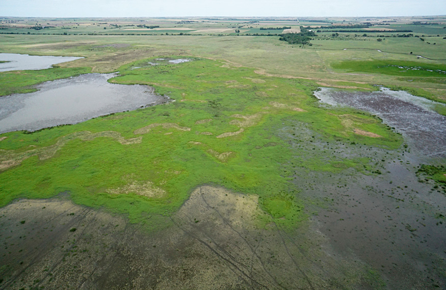
| Left: Deception Creek in the background and a small pool around its delta at scene center. The water is so shallow that cattle tracks can be seen. Right: vertical shot over marsh margin showing bright-green water smartweed with small, dark-green clumps of bulrush on right. | 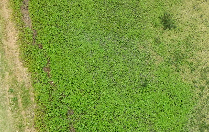 |
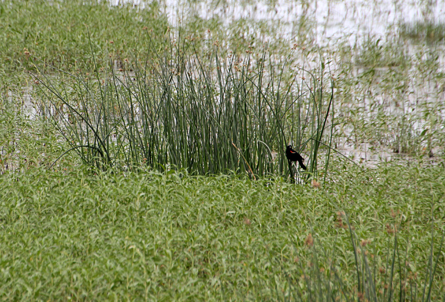
| Left: red-winged blackbird (Agelaius phoeniceus) in a clump of great bulrush, surrounded by water smartweed. Right: poison hemlock (Conium maculatum L.) is blooming with tiny white flowers. It's a common wetland plant in Kansas. | 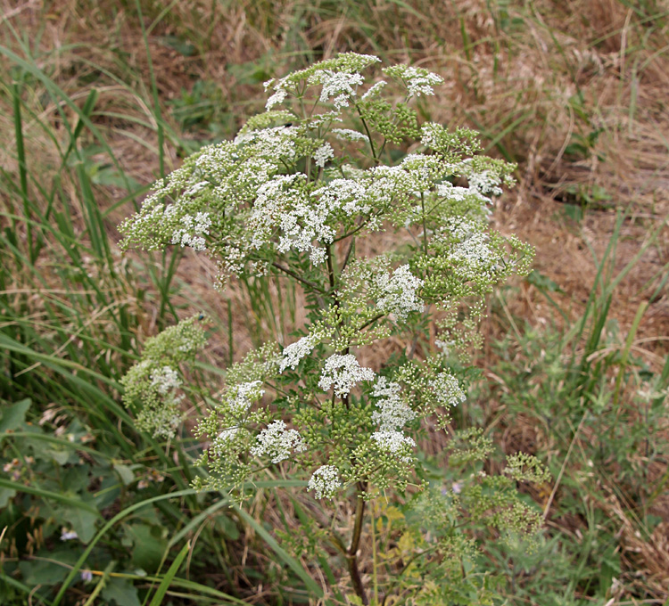
|
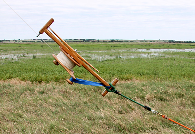
| Reel for kite line in normal operation (left) attached to a secure anchor on the ground. Note the blue strap to prevent the reel from turning. After the knob broke off the long handle (right). Only the inner knob remained, which made the reel quite difficult to operate. | 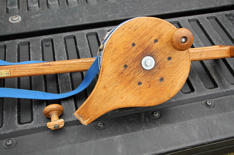 |
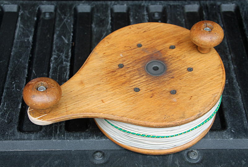
| Repaired kite-line reel with a shorter handle for the outer knob. |

 Return to beginning.
Return to Cheyenne Bottoms homepage.
All rights reserved © (2026).
 Celebrating 25 years at the Nature Conservancy
 Closer KAP views, June 2026
 Vegetation along marsh margin
 Kite-line reel failure