Environmental Research
Cheyenne Bottoms, Kansas

2012 and 2013

2012 Developments

Our 2012 aerial observations began in late April. In most years, there is minimal plant and animal activity in TNC marshes at this time. However, following a mild winter and exceptionally warm early spring, emergent wetland vegetation was well ahead of its normal seasonal status. Cattail growth reached 3-4 feet (1 m) height, pools were full of water, and snakes and turtles were already active. This was followed in late May-June by the earliest wheat harvest on record in the state of Kansas, which confirmed the most unusual spring weather of 2012.

April 2012 overviews of TNC marsh
Left: view northward with the delta of Deception Creek at scene center. Right: looking to the northwest with Blood Creek in the left background.
Left: looking toward the southeast with the state wildlife area in the distance. Right: closer shot of kite flyers on TNC nature trail (lower left corner). Cattail growth is similar to late May of the previous year.
Left: close-up shot of TNC marsh with dense cattail growth behind kite flyers. Right: ground view in the state wildlife area showing abundant waterfowl and well-developed cattails.

Hot, dry weather extended through late spring and early summer. We returned in July to check on marsh conditions. The pools of April were completely dry mudflats, and cattail growth had reached 8 feet (2˝ m) in places. Cattail and bulrush thickets had spread over substantial portions of the marsh area, and across the dry mudflats the common weed velvetleaf (Abutilon theophrasti) had sprouted in scattered groups.

July 2012 overviews of TNC marsh

View westward

View to northwest

View northward

View to northeast
Compare with April 2012 pictures above.

Drought conditions in central Kansas had reached the severe level by early July (see drought monitor), as evidenced by nearby rivers—Arkansas River immediately south of Cheyenne Bottoms and Cow Creek to the east. Both recorded exceptionally low flows during June resulting from lack of runoff and increased upstream irrigation. On Walnut Creek at Albert, a short distance west of Cheyenne Bottoms, stream flow was essentially zero for the past year with the exception of two brief runoff events in mid April and early June (USGS 2012). The state of Kansas began to restrict junior water rights in some areas as a consequence of low stream flows (see AP story).

Close-up aerial views
Left: delta of Deception Creek and dry creek channel in upper center of view. Kite flyers in lower right corner. Right: looking to the northwest over dry mudflat and cattail/bulrush thickets. The bright green plant in the mudflat is velvetleaf.

Ground photographs
Left: dry channel of Deception Creek as it enters the marsh complex from the north. Right: mussel shells on the dry mudflat surface. Shells approx. 4 inches (10 cm) long.
Left: velvetleaf growing on the dry mudflat.

Right: SWA shows a tall stand of cattail.

Thickets of emergent wetland vegetation: bulrush (left) and cattail (right). Although the surface of the mudflat is dry; roots reach moisture below and sustain the plants.

November 2012 overviews of TNC marsh

View to northwest

View northward

View to northeast

Drought conditions continued through the autumn of 2012, and most vegetation had gone dormant by the time of our visit in early November. We were surprised to find numerous cattle trails criss-crossing the cattail thickets and vehicle tracks across the dry mudflats. The vehicle tracks resemble artistic scrollwork as viewed from above.

Closer oblique views
Left: vehicles tracks in mudflat form intricate loops and circles. Right: dry delta of Deception Creek in left background with various cattail thickets, meadows and dry marshes in foreground and to right.

Vertical superwide-angle shots
Narrow, sinuous paths are cattle trails cutting through cattail thickets. Looping vehicle tracks on mudflat were made by local youth riding ATVs (four-wheelers).

Return to beginning.

2013 Update

Drought conditions of the previous year continued into mid-May 2013, in spite of a relatively cool and rainy spring, and most of the marsh remained dry. Much of central Kansas experienced extreme drought conditions. Cattail and bulrush were beginning to emerge in a few spots, and spike rush covered wet meadow areas. Signs of drought were quite evident among the wet-soil wildlife with many dead crayfish and snails.

Kite aerial photographs
Panoramic overview looking northward at scene center. Small puddles are scattered in the marsh, and green emergent vegetation is sparse. Assembled from two overlapping photos.
Left: view toward northwest with Hoisington in the background. Right: looking northward over the main mudflat in the middle of the marsh complex.
Left: looking toward the southwest. Cattle graze around small ponds (center) and along Blood Creek, which is full of water. Right: close-up shot of cattle around small ponds.

Ground photographs
Dead invertebrates on the meadow surface demonstrate dry conditions in the wetland soil. Crayfish (left) and snail (right).
Left: cattle trail through cattail thicket in the main marsh area. Right: sparse emergent vegetation beginning to appear on the adjacent meadow.


The 2011-13 drought came to an abrupt end with heavy rains and regional flooding beginning in late July through mid-August. TNC marshes were inundated with high water that recharged soil moisture and filled the pools. Kite aerial photography was conducted on September 6, about three weeks after peak flooding, under extremely hot conditions (99 °F) to document the effects of flooding and post-flood recovery.

The gauging station on Walnut Creek at Albert, approximately 15 miles (24 km) west of Cheyenne Bottoms, is typical of central Kansas flooding. Peak discharge exceeded 460 cubic feet per second on August 12. Chart obtained from USGS.

Landsat 8 OLI false-color satellite images of Cheyenne Bottoms

July 12, 2013.
Maximum drought (left) and post-flood (right). Landsat 8 OLI bands 8 (green + red), 5 (near-infrared) and 7 (mid-infrared) color coded as blue, green and red. Datasets from U.S. Geological Survey; image processing by JSA. * Kansas Wetland Education Center.

  • Active vegetation = green and yellow-green.
  • Fallow fields and dry pasture = pink and maroon.
  • Bare soil and dry mudflats = dark purple.
  • Water = black (clean) and blue (muddy).

August 29, 2013.

Kite aerial photographs
Left: view toward the northwest with Hoisington on the left horizon. Right: looking toward the northeast with many pools in the distance.
Left: view to the southeast. Extent of flooding marked by a ribbon of debris (wrack) around the edge of the wet meadow. Right: close-up shot of the marsh margin showing newly emergent bulrush and spike rush (A) and cattails (B).
Left: close-up shot of dead thatch with newly emergent vegetation growing up through water. Right: sun glint shows water across the marsh surface next to the observation tower.

Prolonged dry conditions followed by sudden inundation and then draining of excess water quickly brought about a diverse combination of wetland vegetation. In less than one month, typical emergent, floating and submerged wetland plants had re-established along with remnants of drought weeds. The mix of plant species and dead thatch is evident in the following ground pictures.

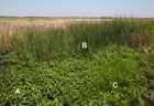
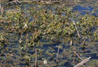
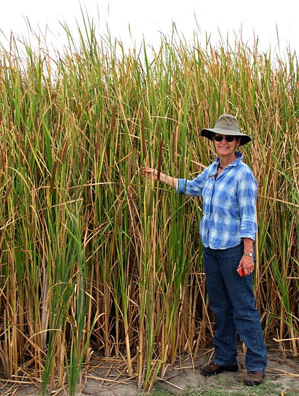
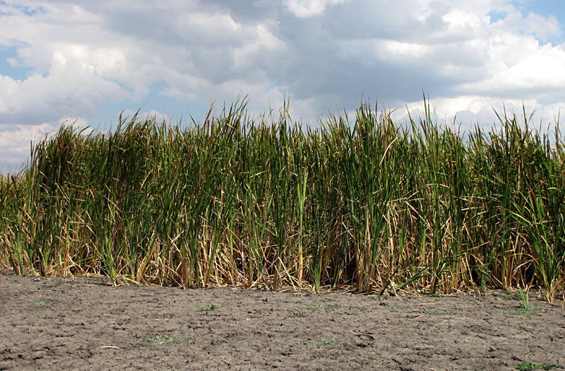
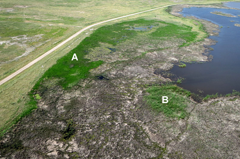
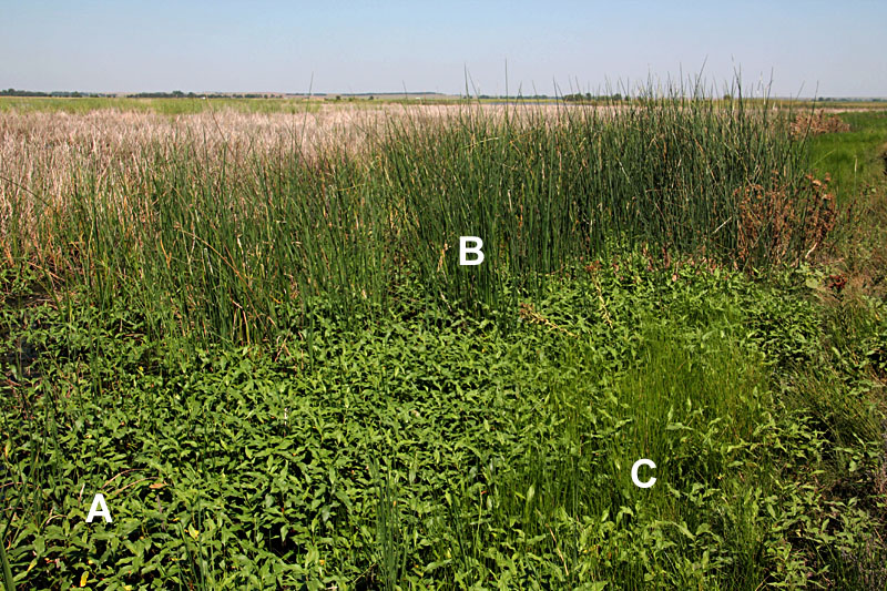
Left: A – water smartweed (Lahring 2003), also known as water knotweed (Polygonum amphibium L.), B – great bulrush, and C – blunt spike rush. Right: A – mosquito fern (Azolla sp.) and B – lesser duckweed (Lemna minor).
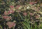
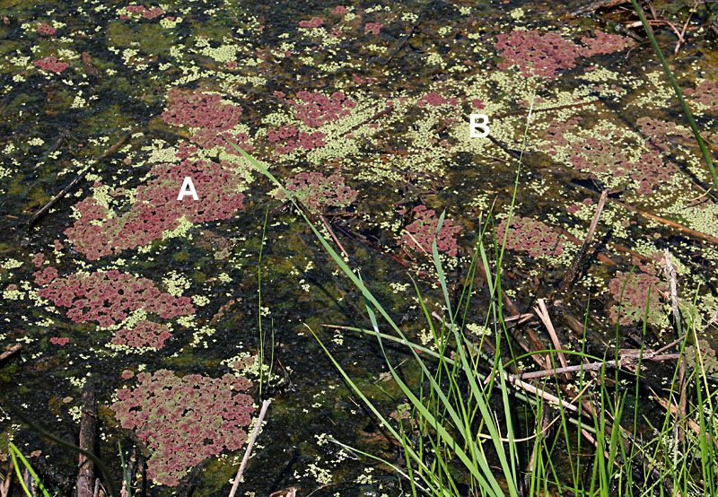
Left: A – water speedwell (Veronica anagallis-aquatica L.) and B – algae. 
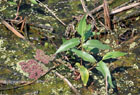
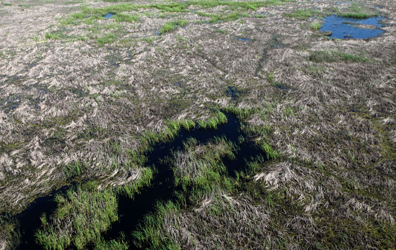
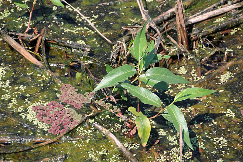
Right: close-up shot of water smartweed, mosquito fern, duckweed, and algae along the marsh margin.
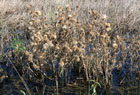
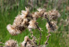
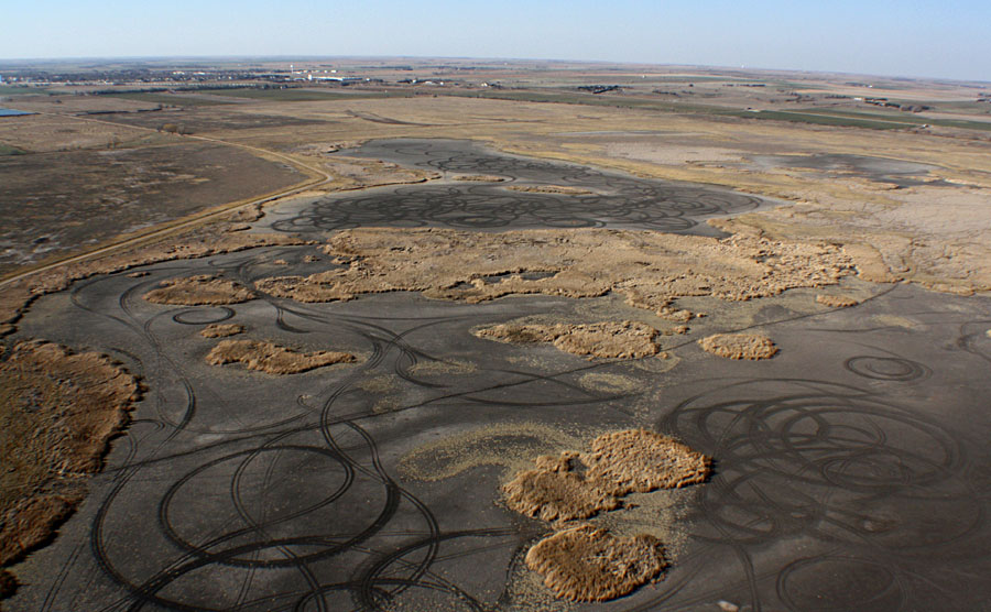
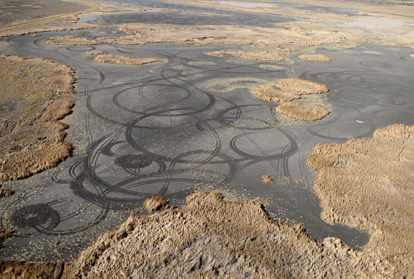
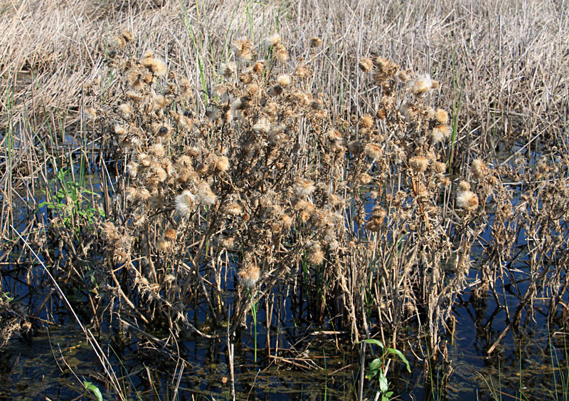
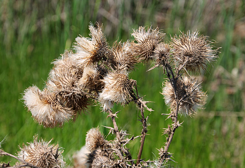
Spiny cocklebur (Xanthium spinosum L.) is a particularly nasty weed that flourished around the marsh margin during the drought. The seed pods now have opened to disperse a multitude of seeds to blow in the wind.
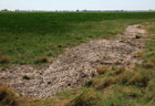
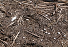
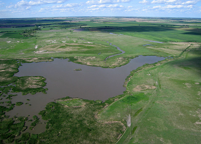
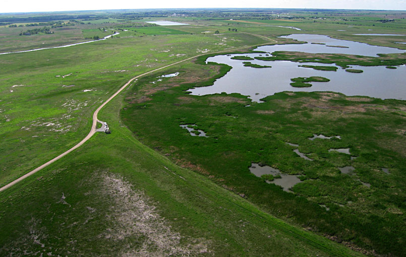
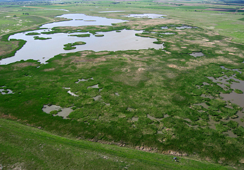
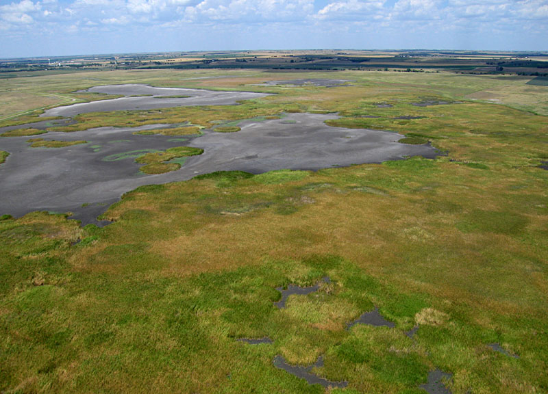
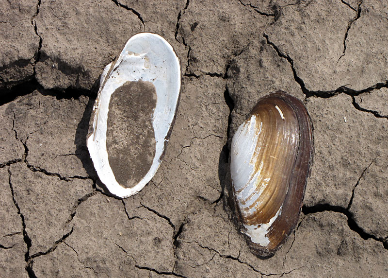
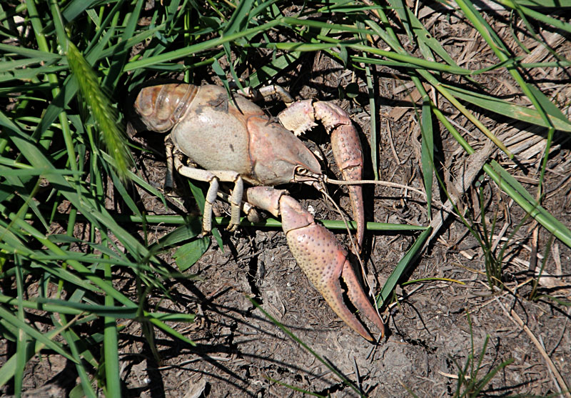
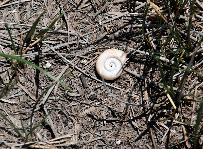
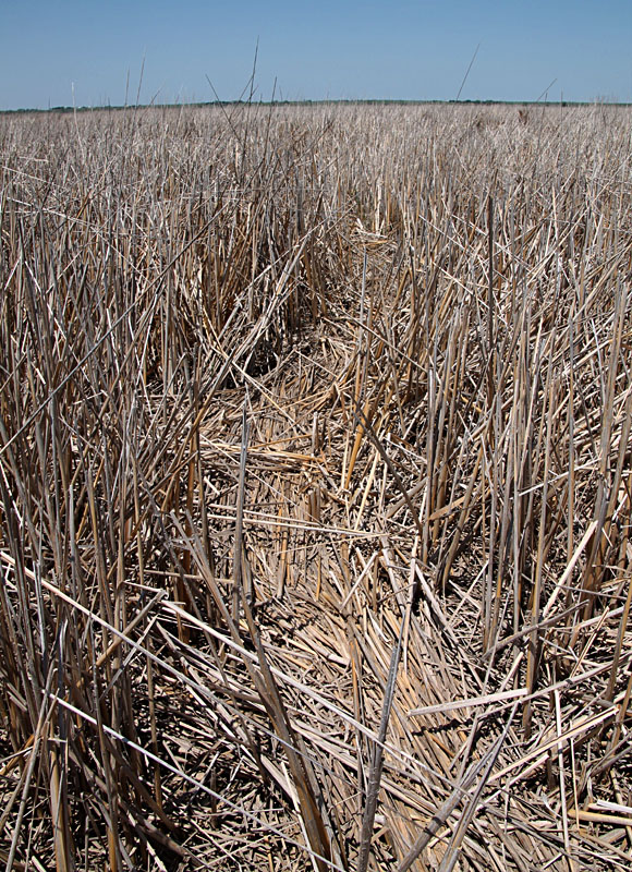
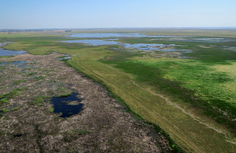
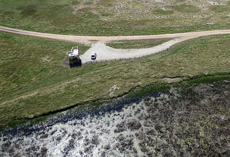
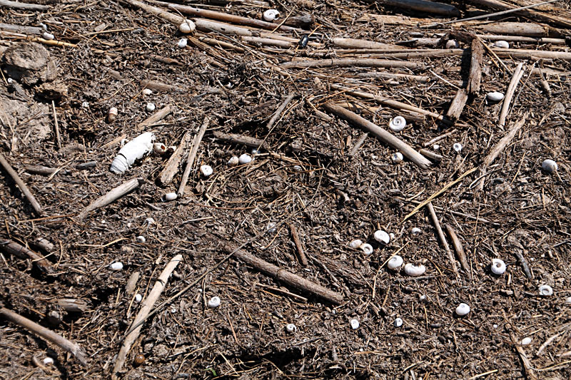
Left: limit of high water is marked by flood-washed debris, known as wrack (silent w), consisting mainly of bulrush and cattail fragments. Note lush, green wet meadow in background. Right: Close-up view of wrack with numerous crayfish and snail shells.

Return to beginning.
Continue to 2014 – 2017.

Return to Cheyenne Bottoms homepage.
All rights reserved © (2020).