| New York J.S. and S.W. Aber |
|
| New York J.S. and S.W. Aber |
We experienced hot, hazy, humid weather under high pressure with light and variable winds--not suitable for kite aerial photography. So we utilized a small helium blimp to lift our camera rigs. We set up in a school yard in the small village of Branchport at the northern end of West Branch Keuka Lake.
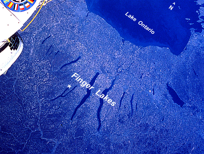 Space-shuttle photograph of the Finger Lake district in western New York. Asterisk (*) marks Branchport, site of blimp aerial photography at the northern end of West Branch Keuka Lake. Image obtained from NASA JSC. | |
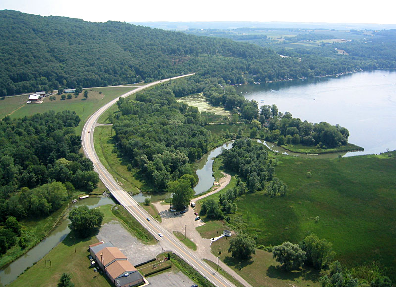
| Superwide-angle view looking toward the southeast over the northern end West Branch Keuka Lake. Guyanoga Creek to left; village of Branchport to right. The blimp flyers are standing at bottom center of scene; several curious folks came by to see what we were doing. |
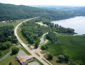
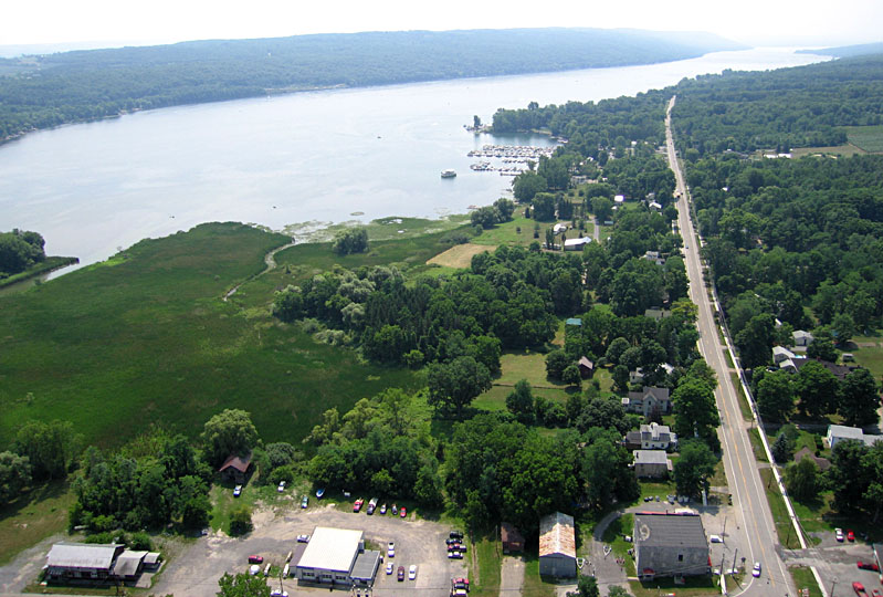
| Guyanoga Creek inlet and boat launch to Keuka Lake. The Branchport fire department building is at lower left of scene. |
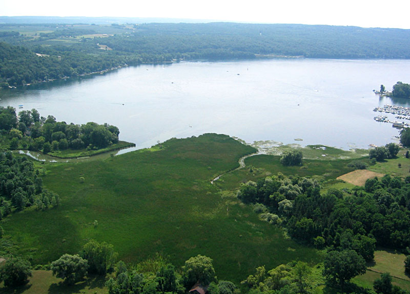
| Closeup view of cattail marsh and Guyanoga Creek inlet to West Branch Keuka Lake. |
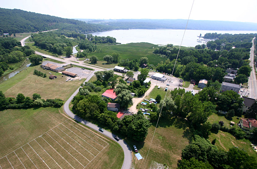
| View southward along West Branch Keuka Lake. Branchport is visible in lower right corner of scene. |
| View southward from "Keuka Corner" road intersection in Branchport. |
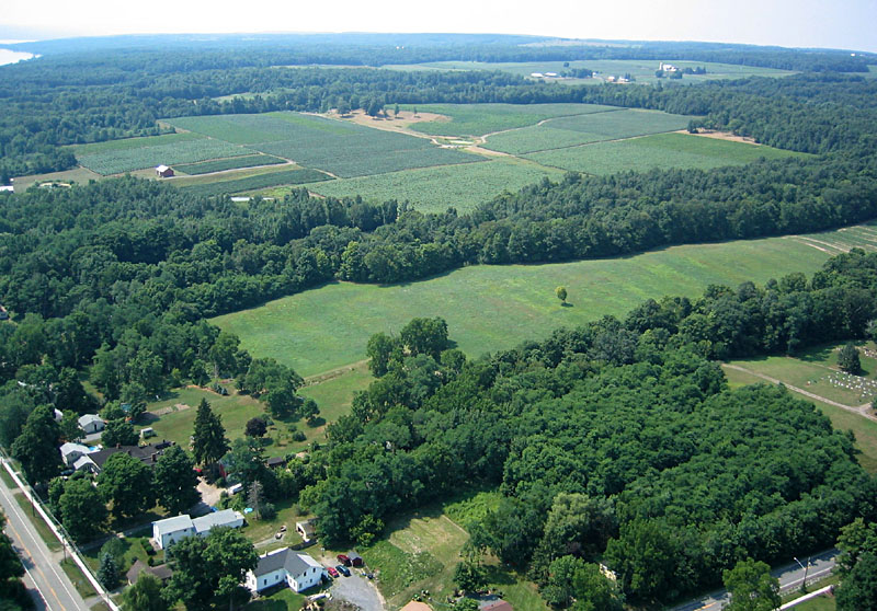
| View toward the southwest showing extensive vineyards adjacent to Keuka Lake. |
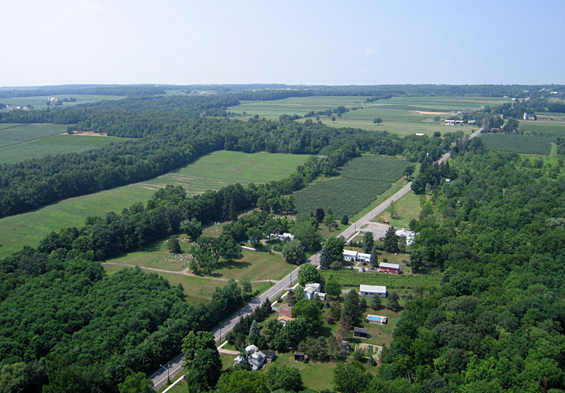
| Italy Hill Road extends westward from Branchport. The Hunt Country Vineyard is located in upper right corner of this view. |
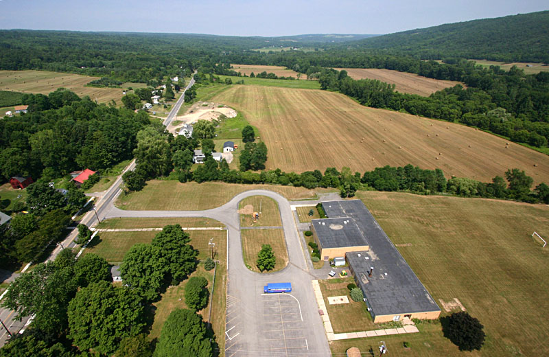
| Superwide-angle view looking toward the north with the Branchport School in the foreground. Agricultural fields span the valley in the background. |
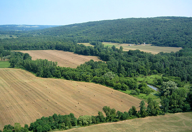
| Hay bales in fields either side of Guyanoga Creek north of Branchport. |
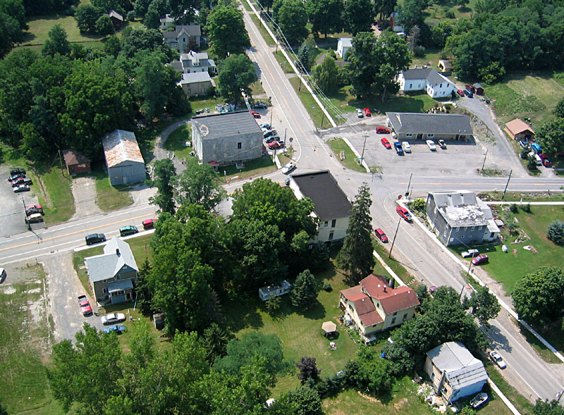
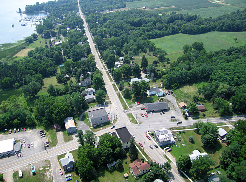
| Closeup view of Keuka Corners, the main road intersection at the center of Branchport. |
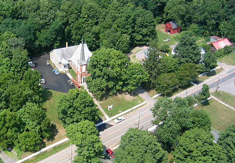
| Closeup view of the Branchport United Methodist Church, established 1866. |