| Prairie, Kansas James S. & Susan E.W. Aber |
|
| Prairie, Kansas James S. & Susan E.W. Aber |
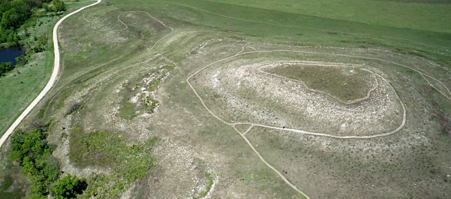
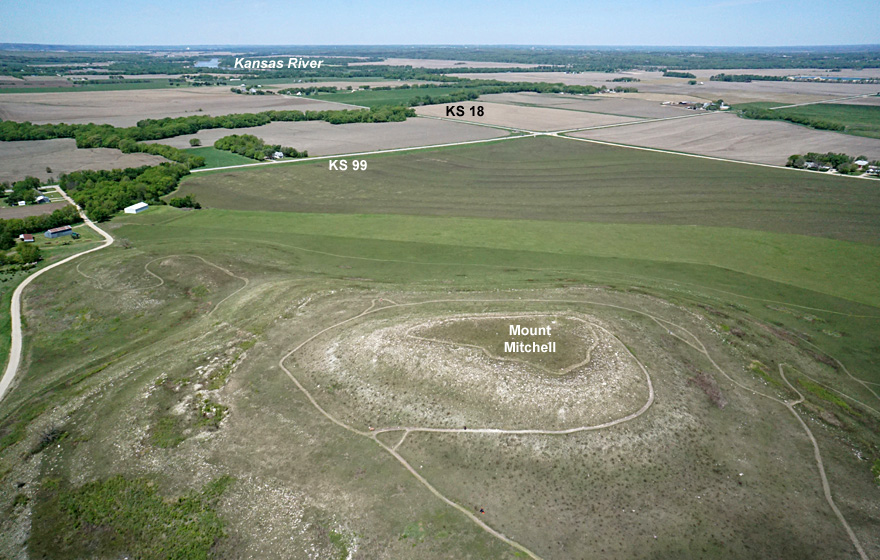
During a spring with frequent clouds, rain, and thunderstorms, we had nearly ideal conditions for kite aerial photography on Mother's Day. Sunny sky, high temperature in the low 60s °F, and northwest wind of 10-20 mph proved quite suitable with no complications. We flew our large rokkaku with the Sony autoKAP rig. We set up on the east side of Mount Mitchell, so the kite and camera would fly toward the southeast of the hill for good lighting.
The site had been burned about 2˝ weeks prior to our visit, and new grass was just beginning to green up over the hill. Such early spring burning is traditional in the Flint Hills to maintain the tallgrass prairie ecosystem. The recent burn meant that bedrock geology was well exposed; limestone layers crop out as stone lines around the hill.
  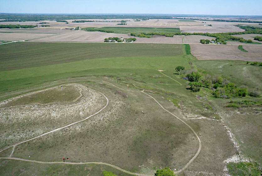 |

| Closer views showing geologic features. Left: limestone (Ls) and shale (Sh) layers on the side and top of Mount Mitchell and a small quarry in the Neva Limestone. Right: walking trail zig-zags up from the parking area to right. Glacial boulders are marked (>). | 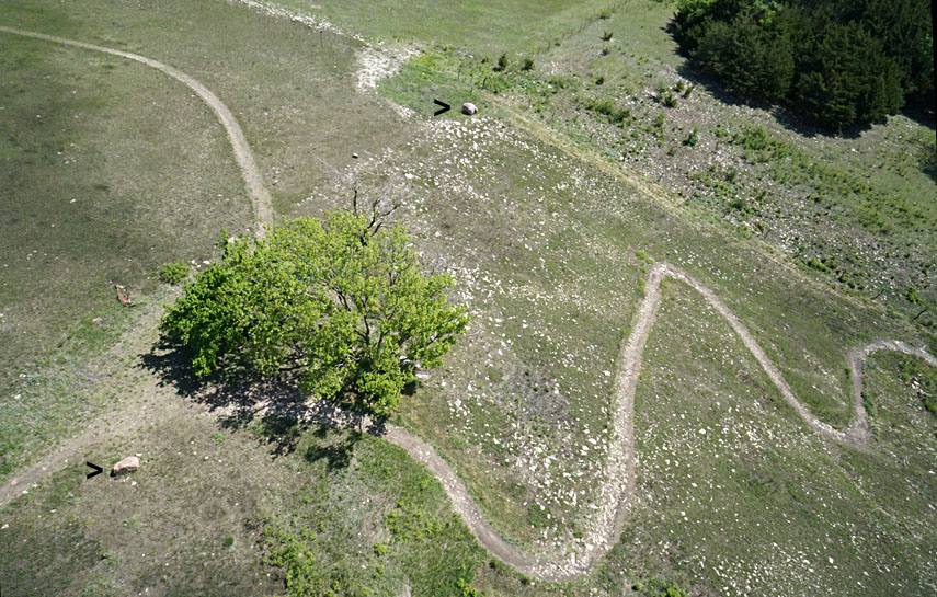
|
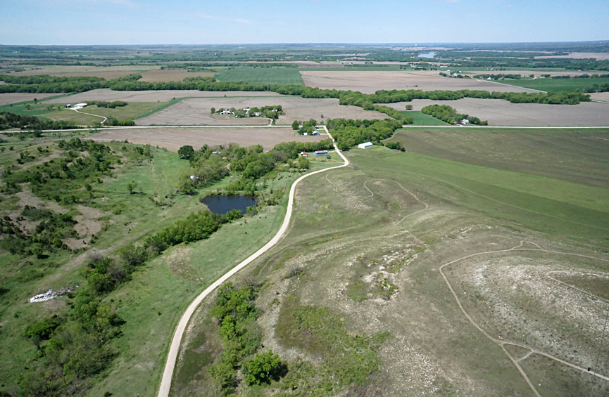
Glacial erratics are scattered around the site and form a pavement with limestone at the top of the hill. These erratics were most likely deposited from icebergs drifting in glacial Lake Manhattan that filled what is now the Kansas River valley directly to the north. The actual limit of the ice sheet lay a short distance to the north and east, thus blocking the local drainage and impounding a lake that filled with meltwater and glacial sediment. Massive influx of icebergs and periodic floods of meltwater carried glacial cobbles and boulders across the lake and deposited them on Mount Mitchell.
Sioux Quartzite is the most abundant type of erratic, transported in the ice sheet from bedrock sources in southwestern Minnesota and eastern South Dakota. Sioux Quartzite is quite resistant to weathering and, so, has collected at the surface since glaciation took place more than half a million years ago. Also present in lesser amounts are cobbles of granite and greenstone. These were derived from outcrops in northern Minnesota or even farther north in Canada.
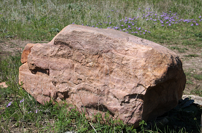
| Glacial erratics at Mount Mitchell. Sioux Quartzite boulder (left) and granite cobble (right). The former displays typical pink-purple color. The latter is partly weathered and shows planed and smoothed sides (comb is 5 inches long). | 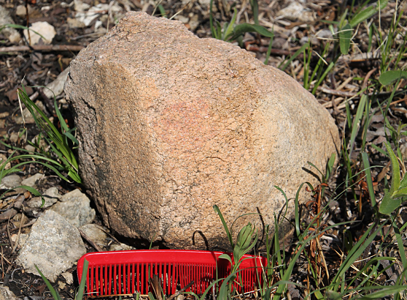 |

| Left: pavement of Cottonwood Limestone (gray) and glacial erratics (pink-purple) at the crest of Mount Mitchell. Right: exposure of the Neva Limestone in an old quarry on the hill side (comb is 5 inches long). | 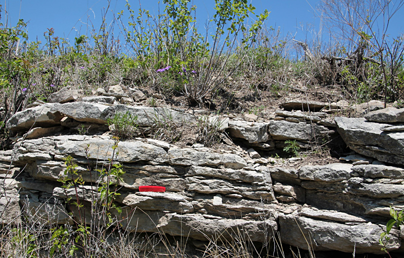
|
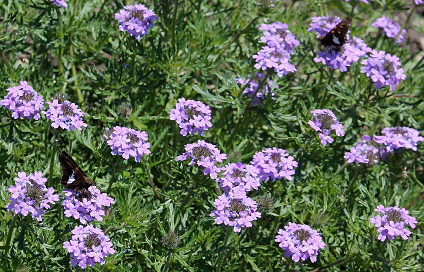
| bipinnatifida) at Mount Mitchell Heritage Prairie. |
![]() Return to KAP gallery.
Return to KAP gallery.
Last update May 2020.