| J.S. and S.W. Aber |
|
| J.S. and S.W. Aber |
In the spring of 2015, we ventured to Joplin to see the restoration progress and remaining aftermath four years since the devastating twister. We went to Cunningham Park, a small city park located directly in the tornado path. The park has been rebuilt with the usual playgrounds, picnic shelters, and walking paths. In addition, it has several monuments and memorials to the tornado.
Weather conditions were nearly perfect for kite aerial photography in the early afternoon—clear blue sky, mild temperature, and 10-15 mph easterly wind. We launched the large rokkaku and lifted the radio-controlled Nikon camera rig over the park for oblique and vertical views.
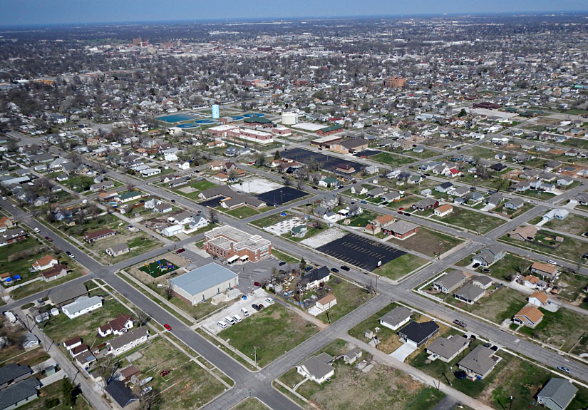
| Left: looking to the northeast with downtown Joplin in the left background. Most structures in the foreground are new. Right: view eastward with Cunningham Park in the foreground and new housing to east. Many lots remain vacant; note the absence of trees and exposed reddish-brown soil. | 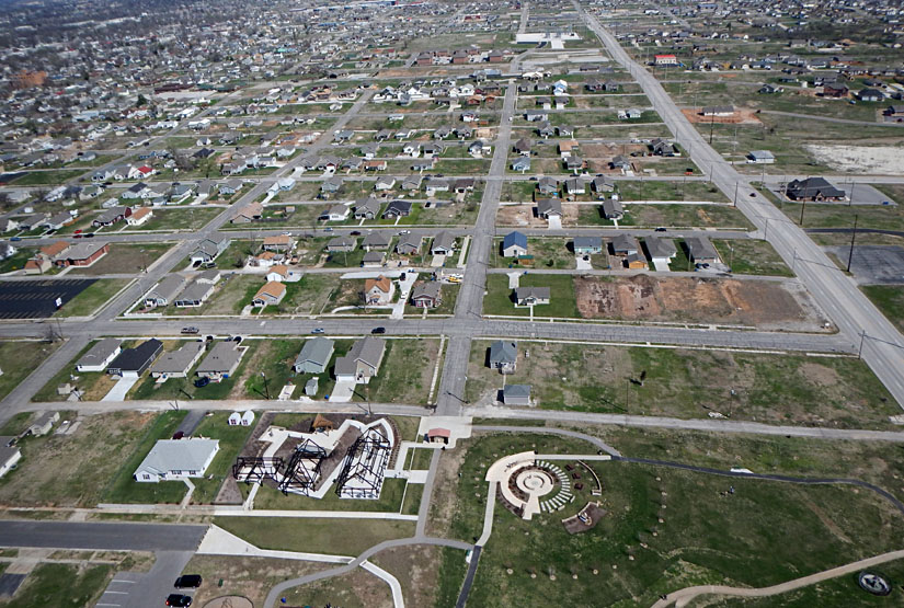 |

| Looking toward the south (left) and north (right). Foregrounds show the destroyed zone along with some new buildings. Undisturbed neighborhoods appear in the distance. | 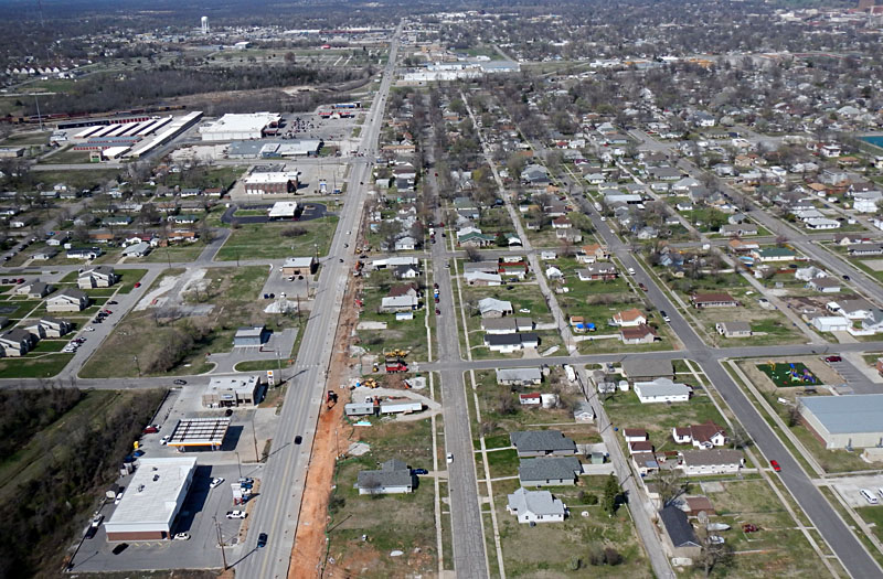 |
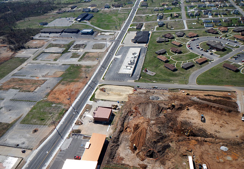
| Left: view westward showing empty pavement (left), new housing (right background), and active construction (right foreground). Right: looking to southeast. The chapel on the mound (lower right) stands on the former site of Mercy Hospital, which was heavily damaged and had to be torn down. | 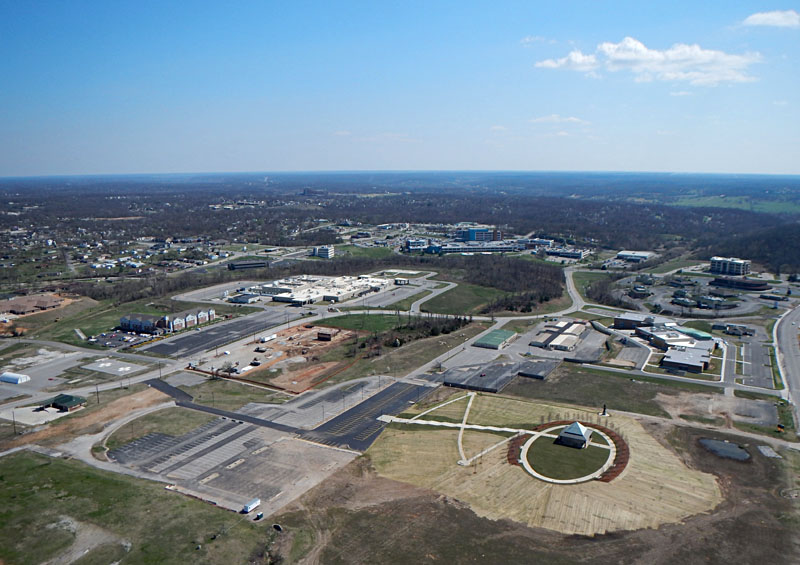 |

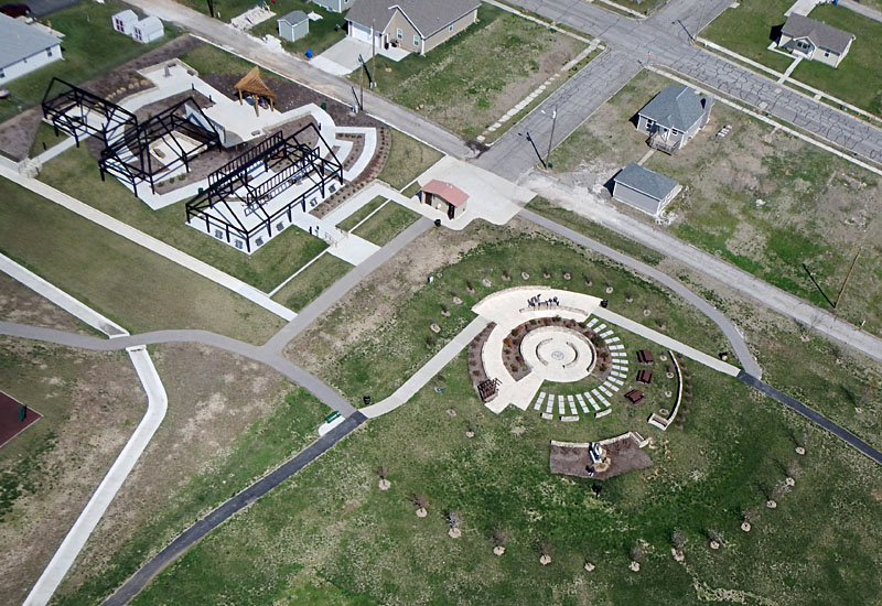
| Playgrounds and memorials (left) and close-up view of memorials (right) with partially rebuilt housing behind. The black frame structures symbolize houses destroyed by the tornado. Kite flyers in lower right corner (right). | 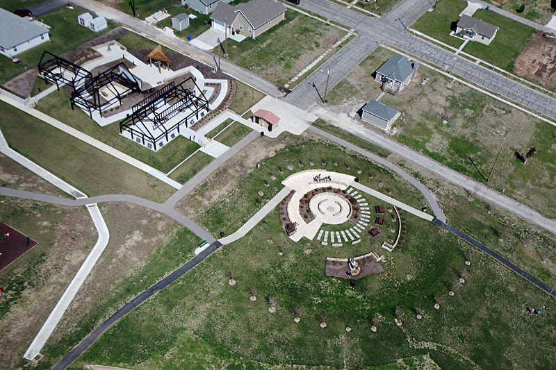 |

| Basketball court, gazebo, and playground (left), and empty swimming pool (right). Note road contruction in process next to the park. Much reconstruction remains to be done along the tornado track. | 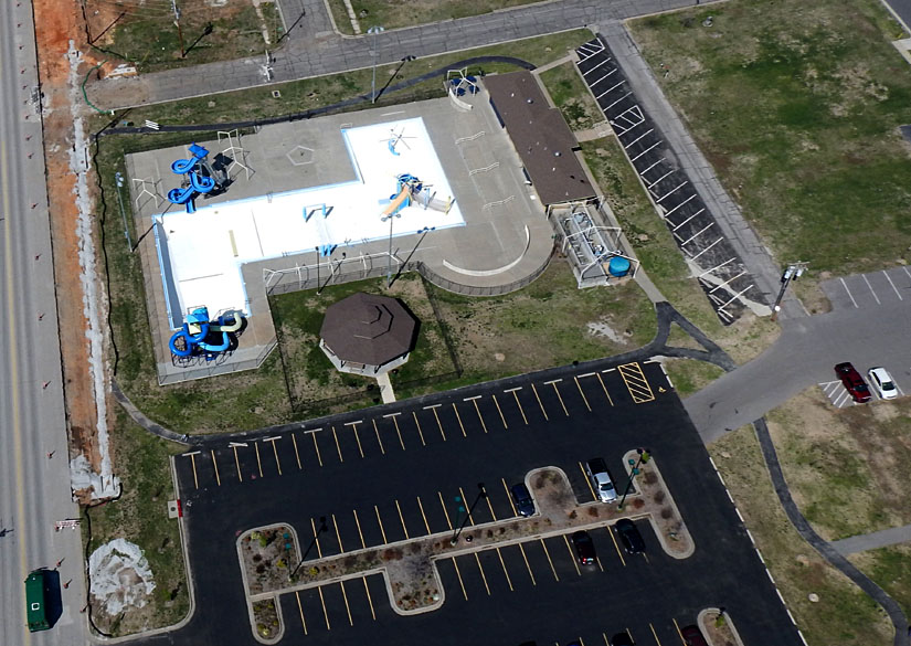 |
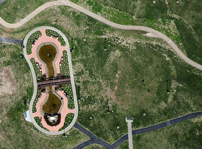
| Water pools near center of park. Left: curious circular feature is visible in the patchy grass to the right. This is presumably the trace of a structure prior to the tornado. Right: close-up view. Note people standing and sitting, as shown by their shadows. | 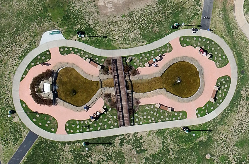
|