| J.S. and S.W. Aber |
|
| J.S. and S.W. Aber |
The following examples were taken at Cheyenne Bottoms, a large wetland complex in central Kansas. These picture were acquired in early July, 2004 after a period of rain filled the marshes with shallow, muddy water. Compare the views taken with a standard lens to the fisheye views below. Four oblique fisheye pictures are sufficent to provide overlapping coverage around all points of the compass from a given vantage point.
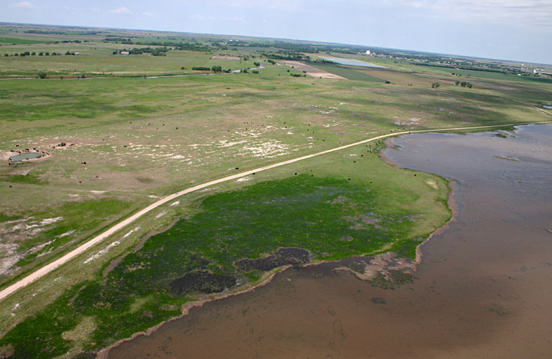
| View toward west showing marsh and wet meadows with cattle grazing. City of Hoisington is located in far right background, and Blood Creek can be seen in left background. | ||||||||||
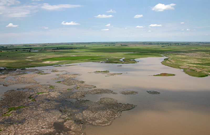
| View toward northeast. Deception Creek enters the marsh near scene center. |
| View toward east. Kite flyers are standing in lower right corner near vehicles. County road to right, and nature trail across center of scene. | ||||||
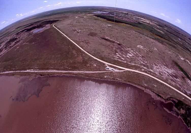
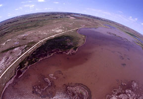
| View toward south. Kite flyers are standing near vehicles, scene center. Numerous cattle are grazing in meadow behind the road. Notice strong sun glint from water surface in mid-day summer. | ||||

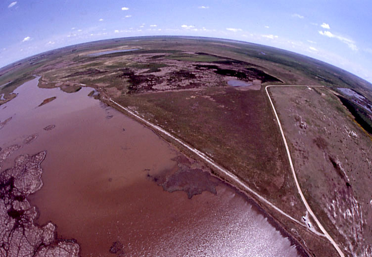
| View toward west. Differences in marsh water color reflect variations in sediment (mud) content. City of Hoisington is on the distant horizon. | ||
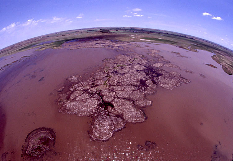
| View toward north. A large bed of dead cattail thatch dominates the center of this scene. |
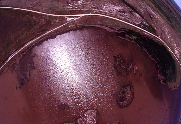
| Near-vertical view with horizon visible in upper right corner. Strong sun glint highlights wave patterns on water surface. |
![]() Return to KAP camera rigs.
Return to KAP camera rigs.
![]() More airphotos of Cheyenne Bottoms.
More airphotos of Cheyenne Bottoms.
All text and imagery © by the authors.
Last update Nov. 2004.