| Overview of central campus area. Wooster Lake, named for an early natural sciences professor, is prominent near scene center. |

| View toward the west. Visser Hall (the Teachers College) is the large brick building to right. |

| View southward along the east side of campus. The alumni center is the brown building to left, and the Memorial Union is visible in the upper right corner. |

| Northern portion of campus. The large brown structure to left is the physical education and recreation building. |

| View toward the west over the practice athletic fields. The new student recreation center is visible to left (purple *). This center was constructed in 2001 just north of the physical education and recreation building. I-35 crosses the foreground. |

| View to the northwest showing the interchange for I-35 and K-99 highways. |

| Northern edge of campus. Practice softball fields are located beyond I-35. The Neosho River follows the tree-lined channel in the background. |

| Nature trail follows a wooded meander in the Neosho River along the northern margin of the campus. |

| Overview of campus looking across the football stadium toward the south. Student housing on left; administrative and academic buildings in center background and right. |

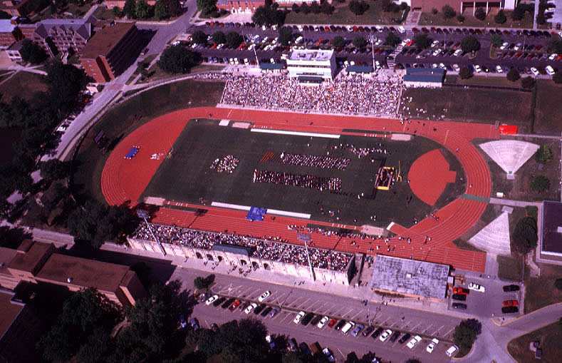
| Overview of the football stadium and western side of campus looking toward the southwest. The large building to right is the Teachers College. |

| Closeup view of the football stadium with the ESU marching band on the field for the pregame performance. |

| Closeup view of the football stadium during the game. New artificial turf is depicted clearly in this scene (compare with pictures above). |

| View toward the west-northwest showing the Emporia Country Club (private golf course). Rain clouds are approaching rapidly. |

| Closeup shot of tennis courts and parking areas on the western side of campus. The small building at right-center is the reconstructed one-room schoolhouse. |

| View toward the northwest over the I-35/K-99 highway interchange. Practice football fields and parking areas appear in the foreground. |

| Overview toward the east along I-35. Trusler sports complex (baseball) is visible beyond King Lake. The Art annex and campus maintenance areas appear in the foreground. |

| Closeup view of the Art annex and campus maintenance areas at scene center. Trusler sports complex is visible in the upper left corner. |

| Overview toward the southeast depicting Twin Towers student housing (lower right), campus parking, and the Saunder Alumni Center (just left of scene center). |


