 |
J.S. and S.W. Aber |
![]()
|
J.S. and S.W. Aber |
![]()
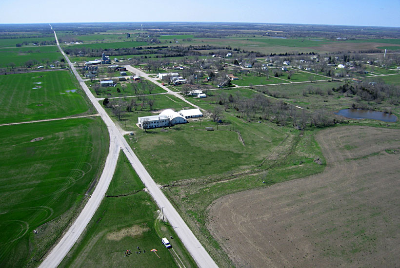
Elsmore was founded in 1888 and populated mainly by immigrants from Sweden. By 1910, its population exceeded 200, and it had a variety of thriving businesses. Like many small, rural communities, Elsmore has lost population and businesses in recent decades. According to the 2010 U.S. Census, Elsmore had 77 residents, 35 households, and 22 families.

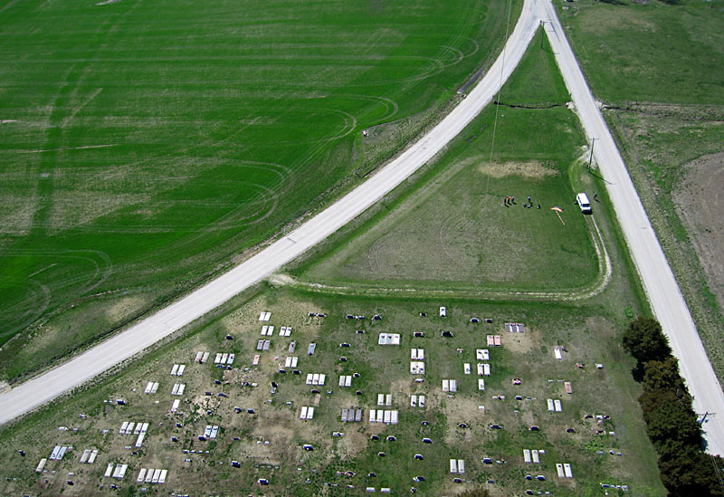
| The cemetery occupies a triangular plot of land with county roads marking the three sides. We set up in the vacant western corner of the cemetery. The westerly wind carried our kite and camera directly over the cemetery. |
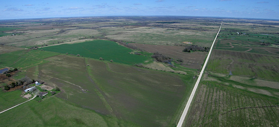 |
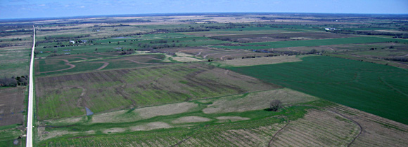
| Left: overview of Elsmore looking toward the northwest. Delware Road runs westward into the distance; kite flyers at bottom of view. Right: looking toward the southwest over a field of green winter wheat. A small oil field and tanks in the background; kite flyers to right side of view. | 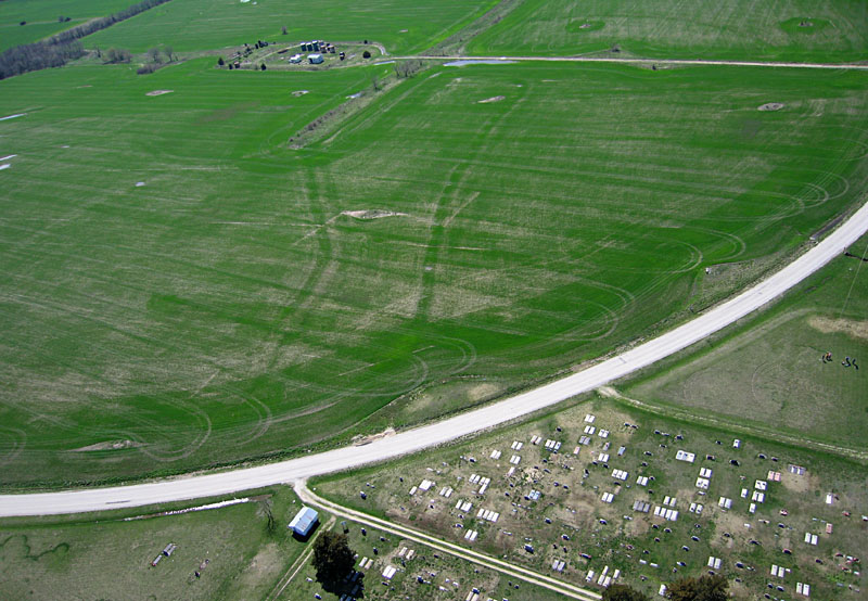 |
| Close-up views of kite flyers at western corner of the triangle-shaped cemetery. Canon S70 shot (left) and Canon Elph shot (right). | 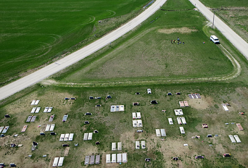 |

| Left: overview showing nearly all of the burial plots. North toward bottom. Right: northeastern corner of the cemetery; north toward right. | 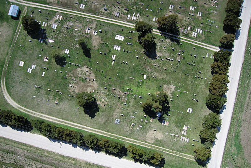 |

| Close-up views over the middle of the cemetery; north to right. Many graves are marked by upright tombstones; others have flat stone or concrete slab covers. | 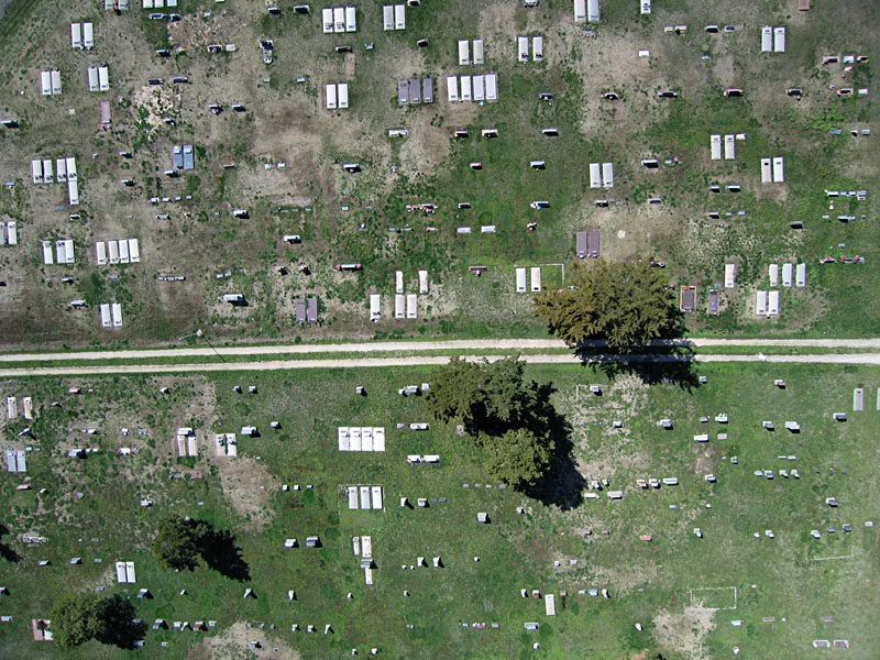 |