Conneaut Marsh, Pennsylvania

James S. and Susan W. Aber


In July 2009, we had the opportunity to visit northwestern Pennsylvania for a look at wetlands in the glaciated Appalachian Plateau. Conneaut Marsh, also known locally as Geneva marsh, is among the largest marshes in the state of Pennsylvania. It is situated in a glacial spillway valley that carried meltwater during the final phase of the last glaciation of the region (Van Diver 1990). The marsh is fed nowadays by water from the outlet of Lake Conneaut, a glacial kettle lake, located in the same valley to the northwest.

After scouting around the area for a couple of hours, we decided to conduct blimp aerial photography near the center of Conneaut Marsh. High thin clouds created hazy, diffuse lighting on the ground, nearly optimum conditions for acquiring aerial photographs over wetland sites. We utilized three cameras--Canon S70 (wide-angle lens), Canon Rebel (superwide-angle lens), and Tetracam (color-infrared).

Superwide-angle views over Conneaut Marsh

View to southwest

View westward

View to northwest

View northward

View to northeast

Our ground observations revealed four dominant wetland plants in the marsh--spatterdock (Nuphar luteum), pickerelweed (Pontederia cordata), lesser duckweed (Lemna minor) and narrow-leaved cattail (Typha angustifolia). Also present is purple loosestrife (Lythrum salicaria), an invasive species that is considered highly undesirable.

Ground views of Conneaut
Marsh vegetation
Left: pickerelweed with attractive violet flowers.

Right: purple loosestrife with pink-purple flowers.

Left: narrow-leaved cattail across center.

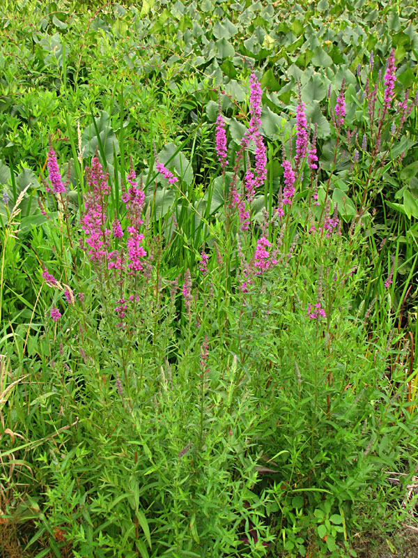
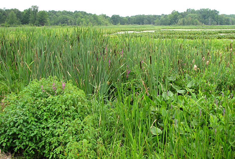
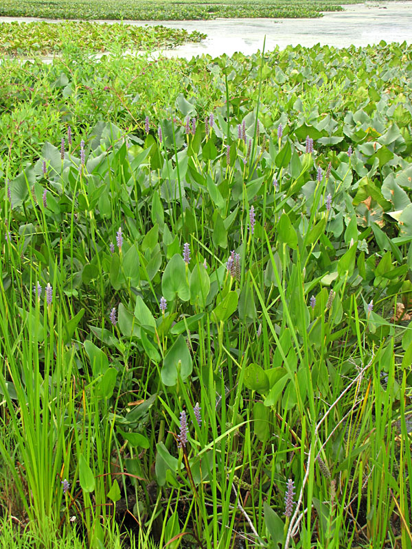
Right: spatterdock (emergent)
and duckweed (floating).

Conneaut Marsh is maintained by the Pennsylvania Game Commission as state game land 213, which comprises nearly 6000 acres. The primary purpose is duck and goose hunting in the autumn and winter, as well as waterfowl breeding and propagation in the spring and summer. Parking areas, boat launch sites, and cut channels facilitate access for hunters and nature enthusiasts.

Wide-angle views over Conneaut Marsh

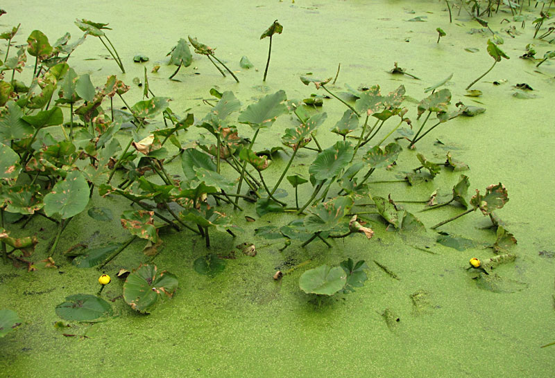
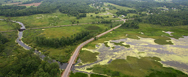
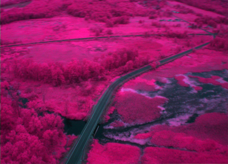
Looking downstream toward the southeast along the marsh drainage channel. In the lower foreground the road follows a dike. The bridge on the road marks the spillway through the dike. In the distance the Bessemer and Lake Erie railroad runs across the scene.

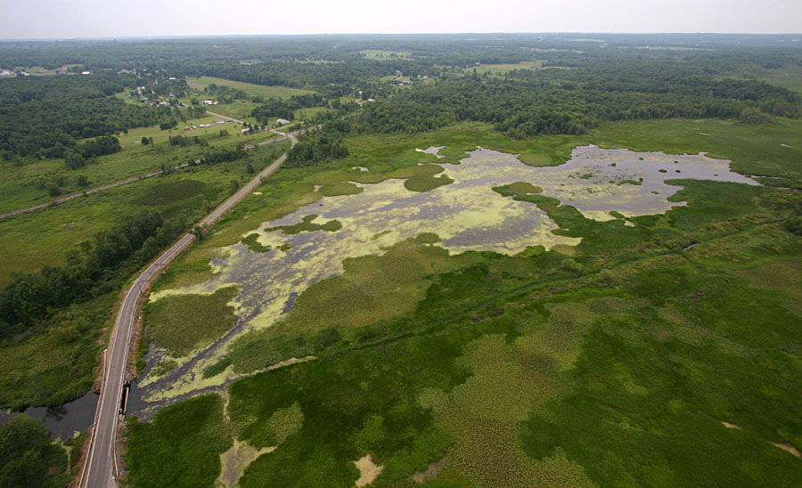
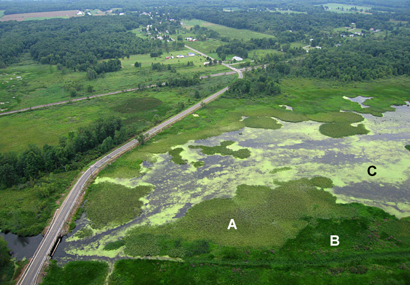
View southward with the village of Geneva in the center distance. The road follows a dike that holds water in the pool to right side. Marsh vegetation: A - spatterdock, B - pickerelweed and cattail, and C - duckweed.

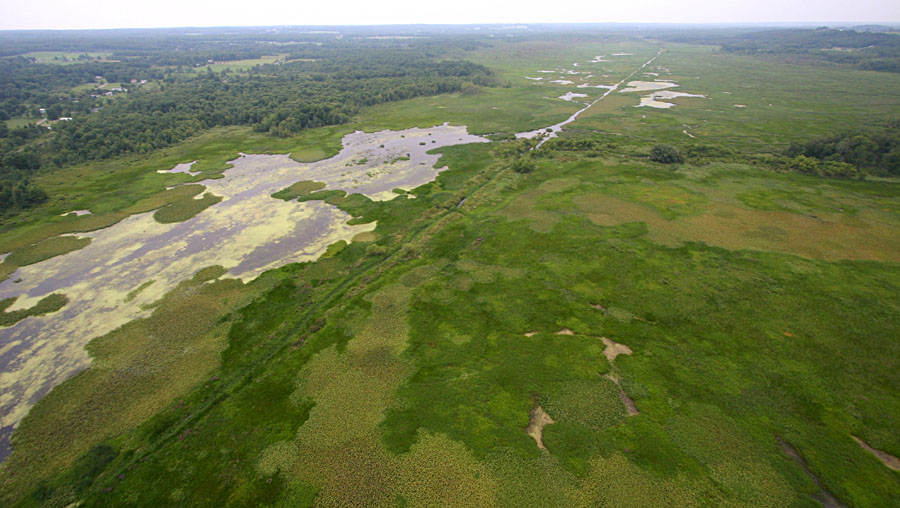
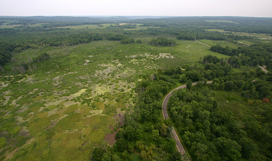
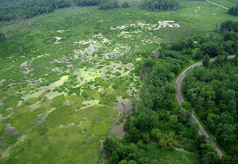
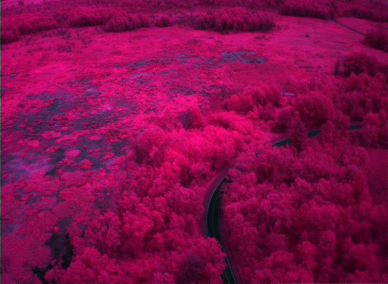
Looking toward the southwest over a large open pool surrounded by emergent wetland vegetation that forms a green carpet. The linear path across the scene is a channel cut through the vegetation. This linear channel extends through the entire length of the marsh--see above.

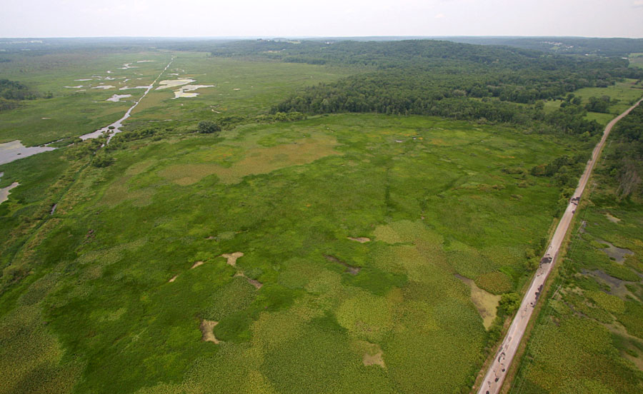
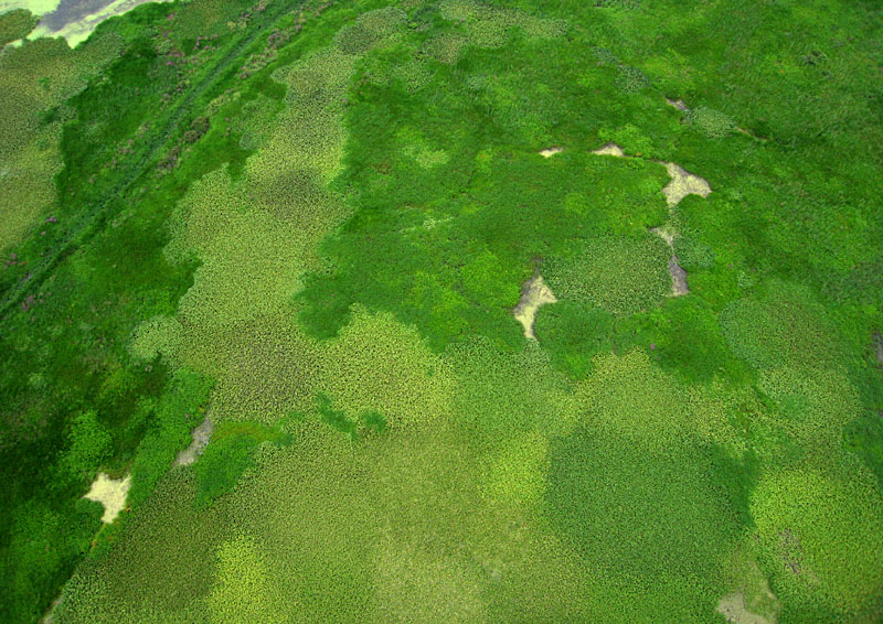
Closeup view of green carpet of emergent marsh vegetation shown in picture above. Coarse, light-green is spatterdock. Darker green areas are pickerelweed and cattail.

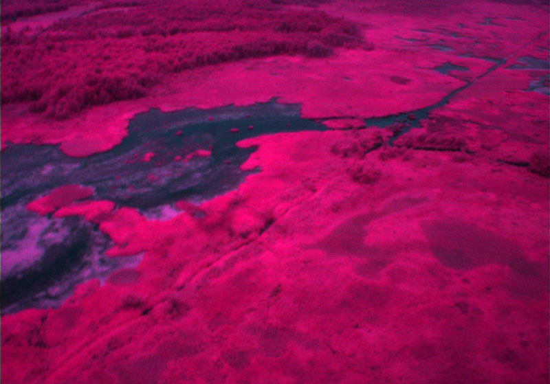
View to northeast showing many pools of irregular size and shape with numerous small clumps of emergent vegetation. Geneva Road on right side.

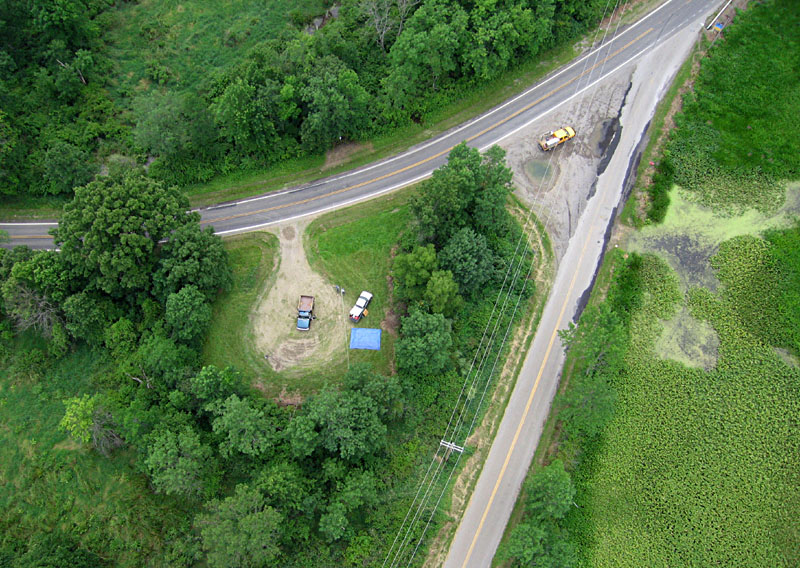
Near-vertical shot of the blimp launching site (blue tarp) at a small parking area surrounded by tall trees. This site, where Watson Run Road (below) and Geneva Road (above) fork, is virtually an island within the marsh complex.

Color-infrared views over Conneaut Marsh
Active vegetation is bright red and pink.
Water appears dark blue to black.

View southward

View westward

View to northeast

Related sites

Reference


Return to gallery or kaphome.
Last update: July 2009.