
| Kansas J.S. and S.W. Aber |
|
| Kansas J.S. and S.W. Aber |
Arikaree Breaks is underlain by thick wind-blown sediment, known as loess, that was deposited during the Ice Age. This material consists mostly of silt-sized dust, which is 30 to 65 feet thick here (Muhs 2010). The dust was blown out of the Sand Hills in Nebraska and northeastern Colorado by northwesterly glacial wind.
Loess is highly erodible by wind and water, which have sculpted an intricate network of deep gullies, ravines, and canyons. Total elevation relief in the area is some 400 feet from the edge of the High Plains upland down into the North Fork Republican River valley to the north.
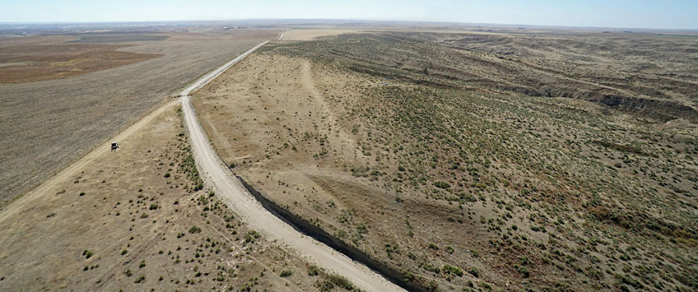 Panoramic view looking southward along Cheyenne County Road 10. Flat upland of the High Plains to left and deeply eroded terrain of Arikaree Breaks to right. Kite flyers on left side. Assembled from two overlapping photos.
| |
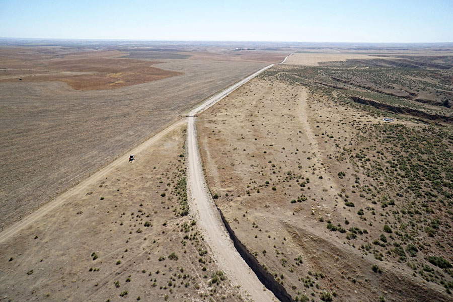
| Cheyenne County Road 10. View southward (left) with kite flyers on the left side, and looking to the northwest (right). The road is deeply cut into loess and meanders down into Sand Canyon. | 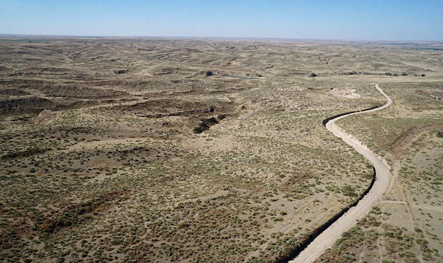 |
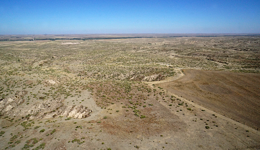
| Looking to the north (left) and east (right). The flat plowed field is the uppermost edge of the High Plains with the eroded landscape of Arikaree Breaks in the background. | 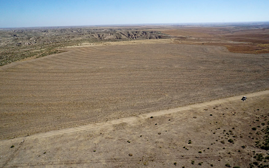
|
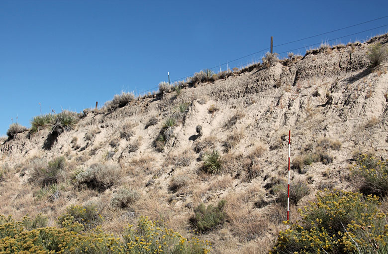
| Left: exposure of loess. The unconsolidated silty sediment is easily eroded. Scale pole marked in feet. Right: clumps of yucca at the KAP ground site. Leaves have needle-sharp tips that are best to avoid. |  |
![]() Return to airphoto gallery
or Great Plains airphoto homepage.
Return to airphoto gallery
or Great Plains airphoto homepage.
All text and images © by the authors (2021).