|

|
|
|
|
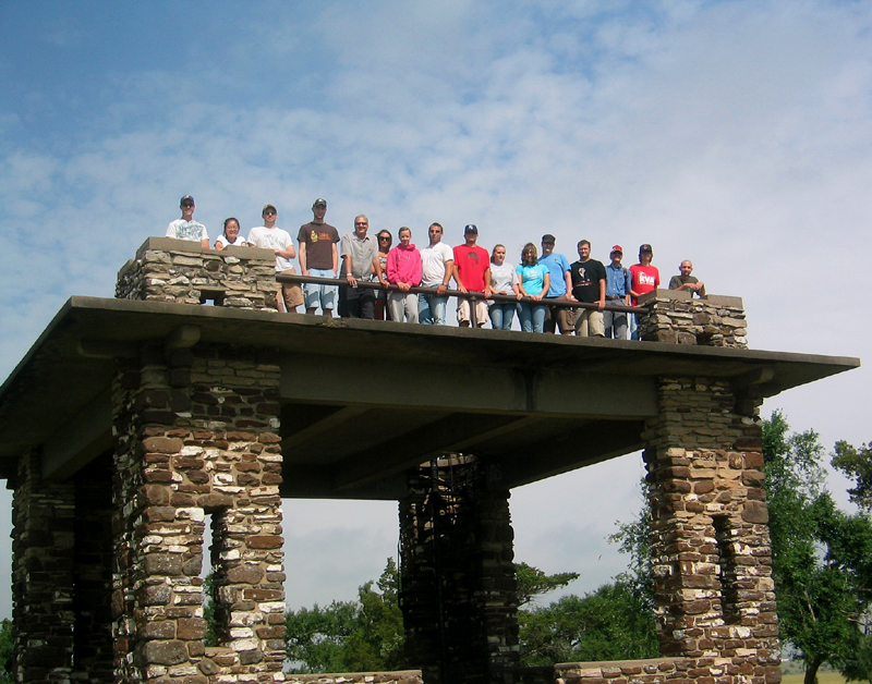
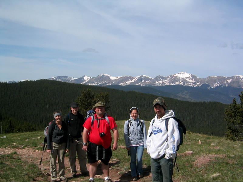
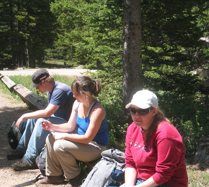
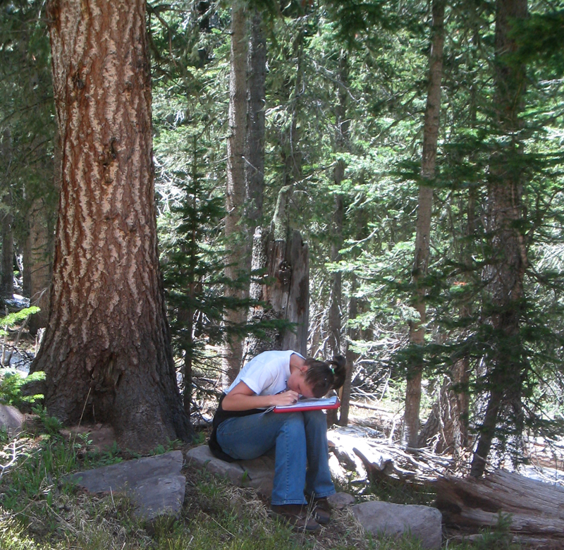
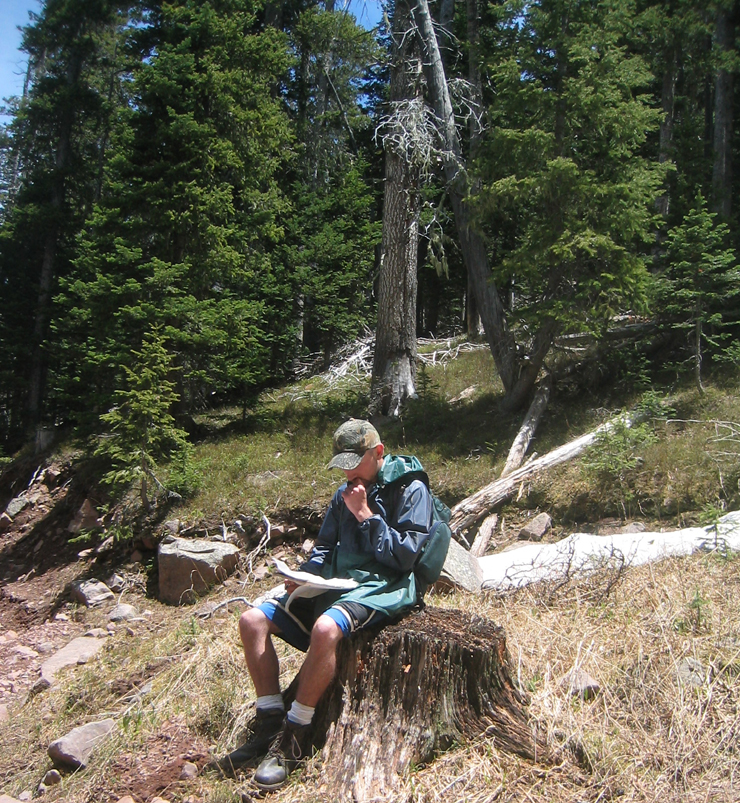
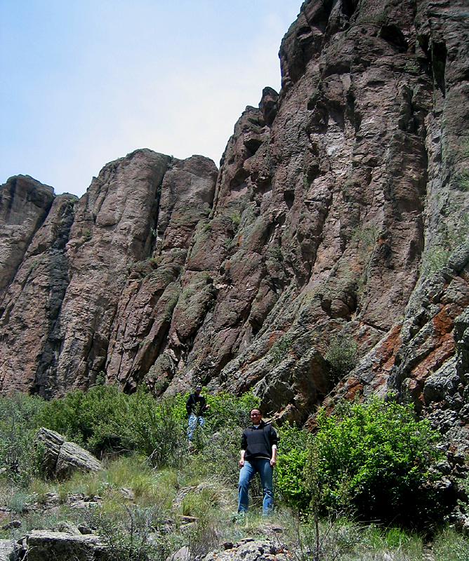
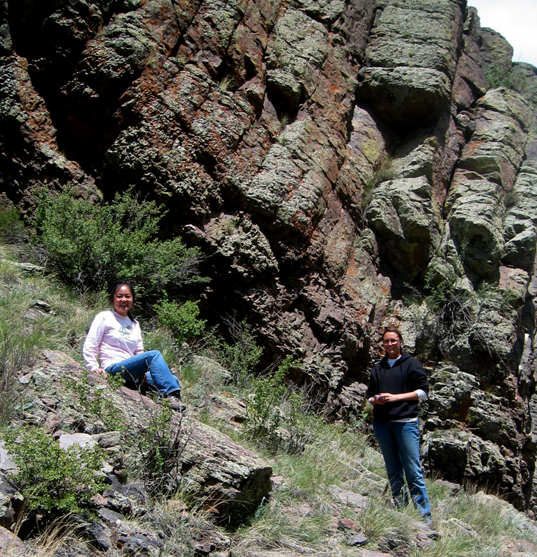
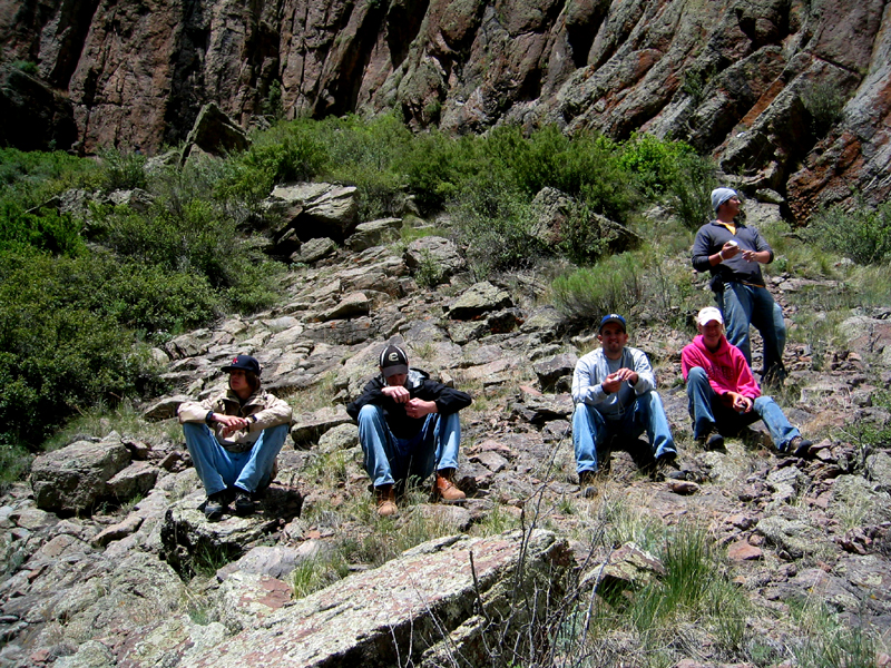
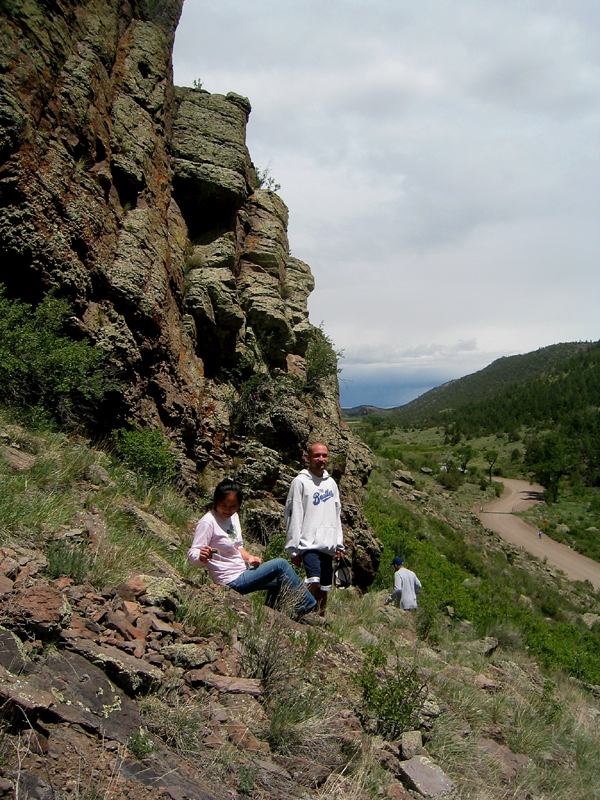
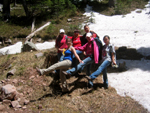
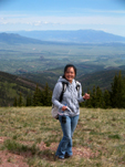
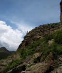
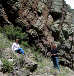
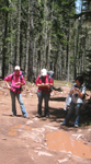
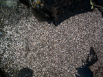
Field geology began with an introduction to using the compass at Kahola Lake, Kansas. Students continued to gain confidence as practicing geoscientists in the field in Colorado. The ladies of field geology demonstrate the direction of strike of the bedrock (far right). Photo right by J.S. Aber, others by S.W. Aber; photo dates 5/26/09 (left two), 6/8/09, 6/15/09.
|
|
|
|

|
|
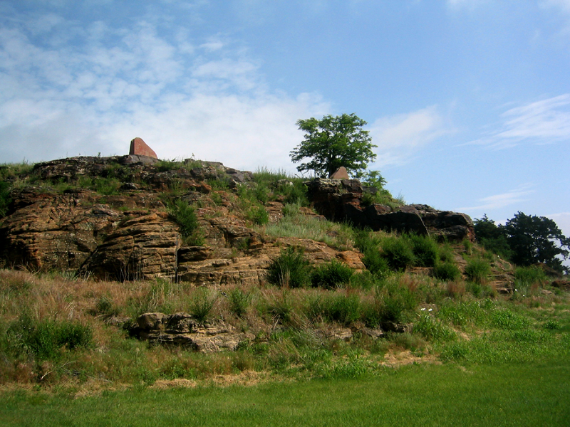
After two weeks in Kansas the move to Colorado included a stops along the Santa Fe Trail. A shelter was built of local sandstone on this rise of Lower Cretaceous Dakota Sandstone outcrop at Pawnee Rock, Kansas. Caliche is the white material on the brown sandstone. Caliche is a sedimentary rock composed of calcite that cements and encrusts sediment and rock. It is found in semi-arid to arid regions and takes its name from Latin, calx, meaning lime. Photos by S.W. Aber; photo date 6/7/09.
|
|
|
|
|
|
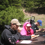
We visited a pioneering stop at Los Animas to the snow in the Rockies, where cell phoning back home was popular. Photos by S.W. Aber; photo dates 6/7/09, 6/8/09.
|
|
|

|
|
|
|
|
|
|
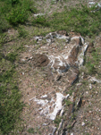
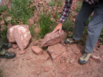
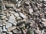
Some of the youngest rock mapped was Cuchara Formation, which grades from a fine sandstone as seen at the Grandot Peaks Golf Course to a coarse conglomerate on Cordova Pass. One clast missing was found and replaced... but looks suspiciously human-made (lower right photo).
Photos by S.W. Aber; photo date 6/8/09.
|

|
|
|
|
|

|
|
|
|
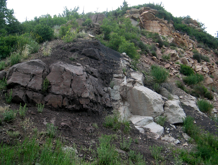
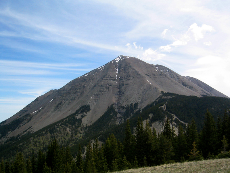
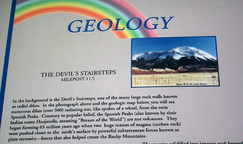
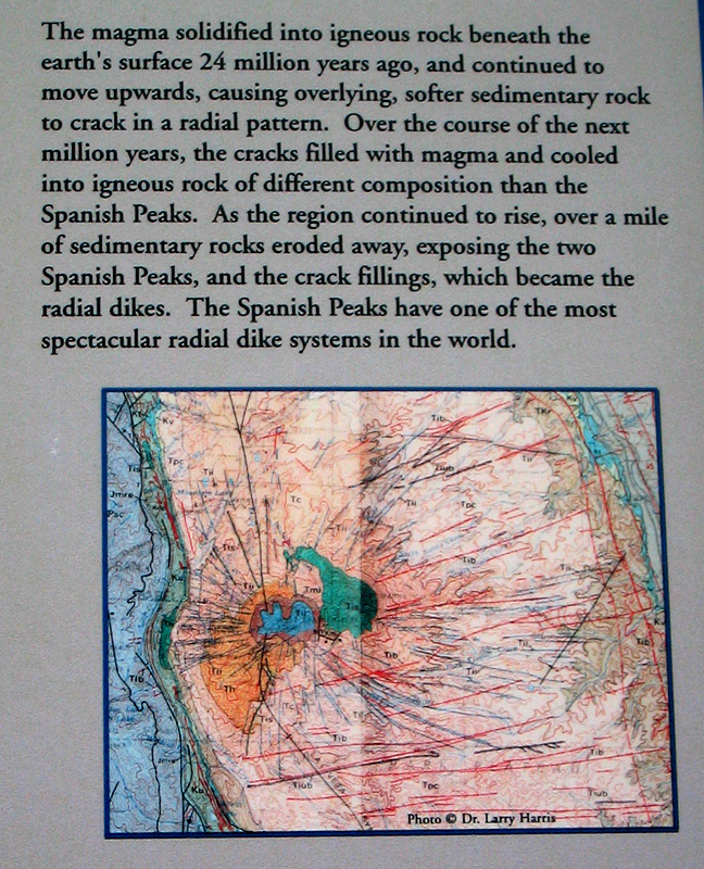
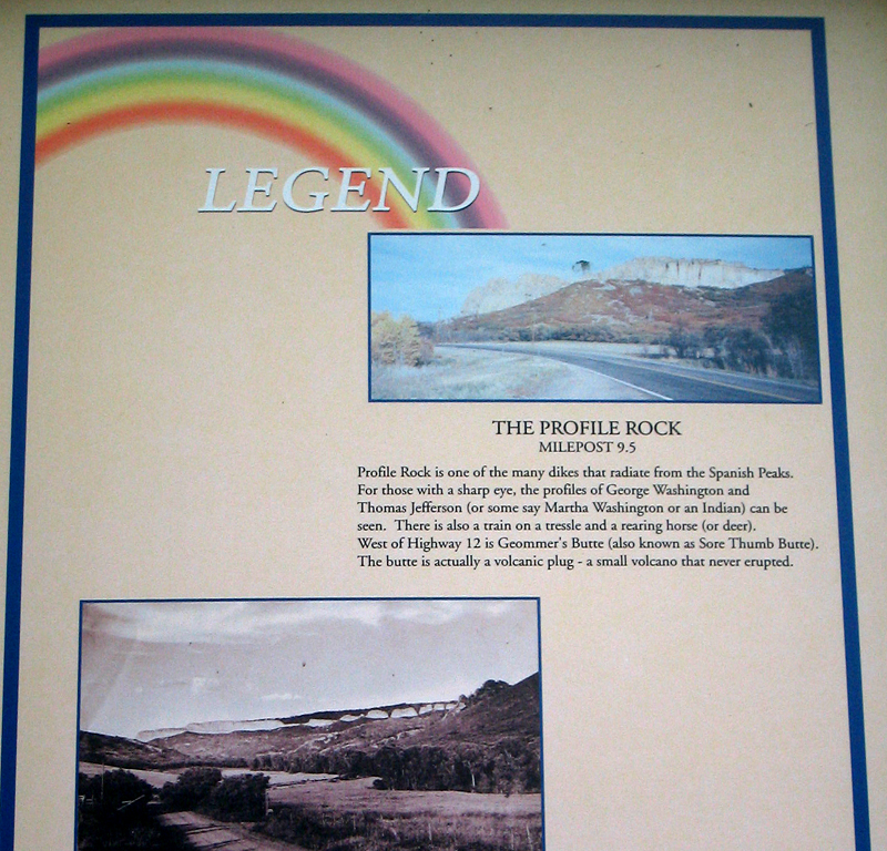
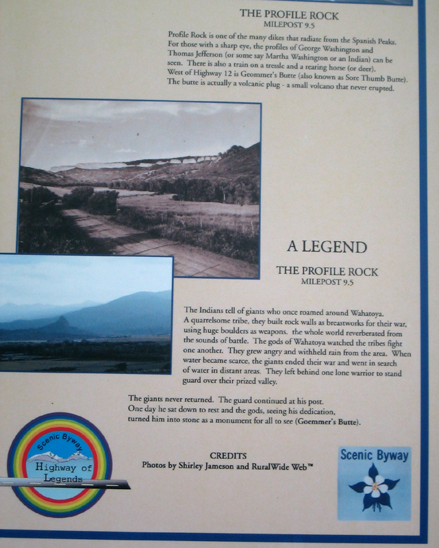
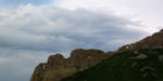
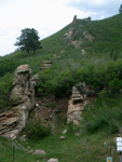
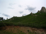
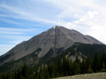
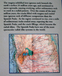
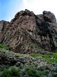
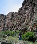
The unique features of this part of Colorado are the large intrusive rock from geologic stocks to dikes. Stocks form peaks such as Spanish, White, Silver, and Mt. Maestas peaks. Dikes from wall like structures. Dike rock baked adjacent countryrock creating a contact metamorphic rock. Profile (above left two) and Devil's Stairsteps (above right two) are granodiorite, while other dikes in the area range in composition from syenite to monzonite to lamprophyre (see B. Penn, www.spanishpeakscolorado.com/). Photos by S.W. Aber; photo date 6/8/09. Below are posters on highway 12 documenting the dikes.
|
|
|

|
|

|
|
|
|
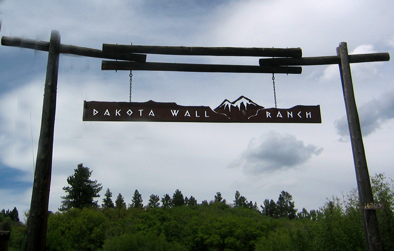
| In addition to the dike features which radiate out from a central intrusion, the Dakota Wall runs nearly straight north-south. Lower right photos above show the repetition of dikes and long straight wall rock (far right above). Photos by S.W. Aber; photo date 6/8/09.
|
|

|
|
|
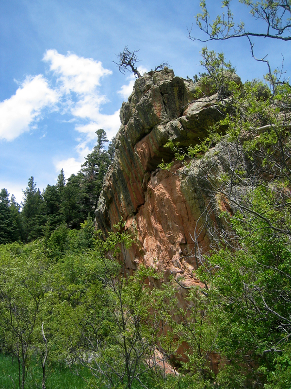
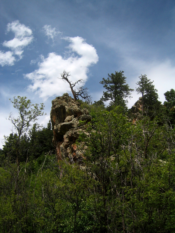
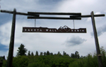
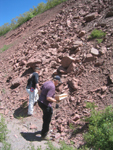
| Dakota Sandstone followed us from Kansas but here it was uplifted to a near vertical position to form a wall and ranch! Next door is a near vertial slice of the Jurassic, Morrison Formation (below, left two photos), which is beside the Permian/Pennsylvanian Sangre de Cristo Formation (shown below). Photos by S.W. Aber; photo date 6/8/09.
|
|
|
|
|
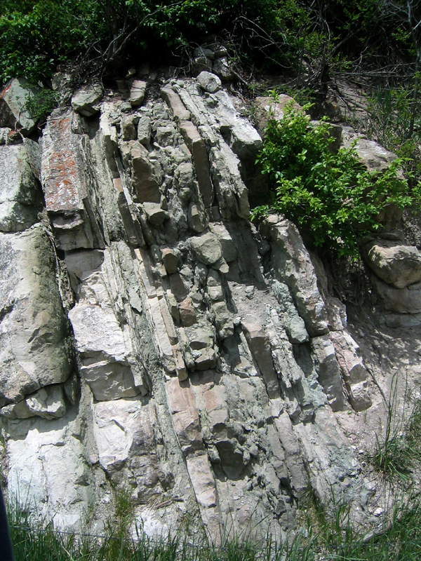
| Left two photos are green Morrison sandstones, siltstones, shales, and thin limestones in a near vertical position adjacent to the Dakota Wall. Right two photos are the red sandstone of the Sangre de Cristo Formation. Sandstone shows cross bedding, while others are conglomerates. On the road to Blue/Bear Lakes. Photos by S.W. Aber; photo date 6/8/09.
|
|
|
|

|

|
|
|

|
|
|
|
|
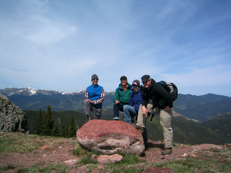
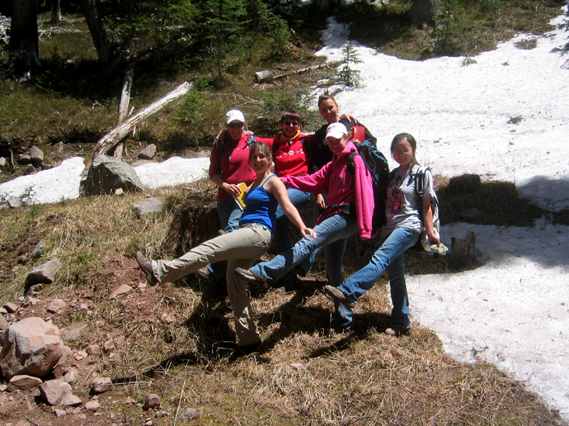
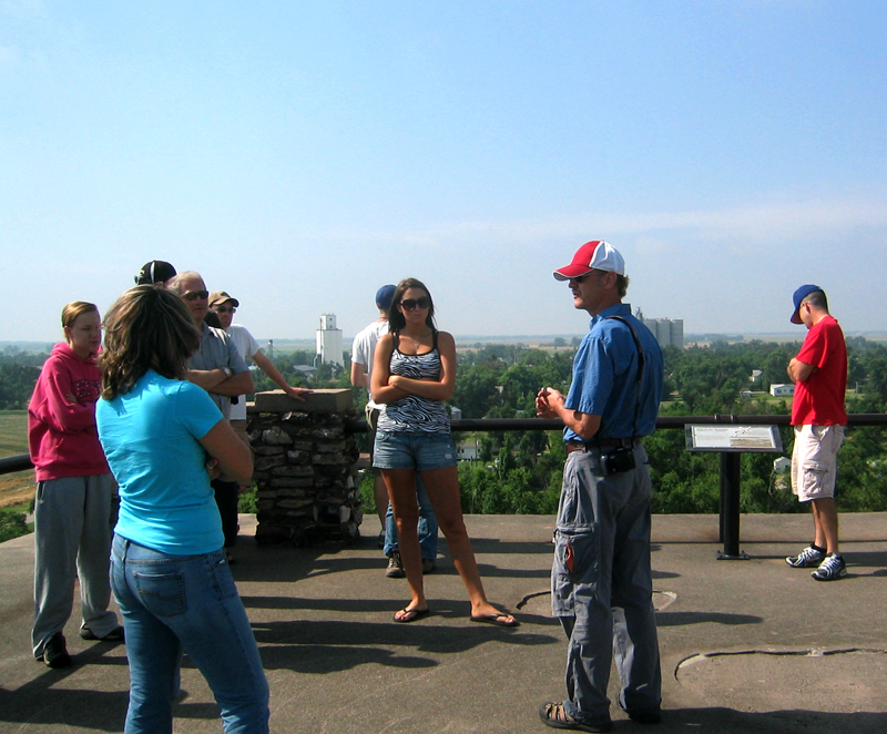
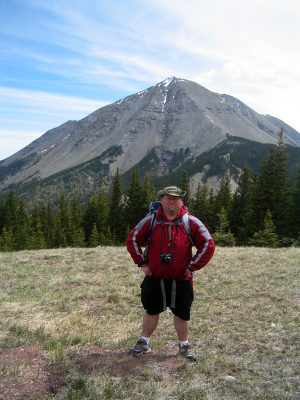
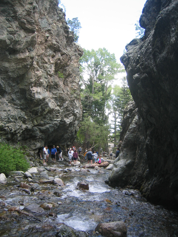
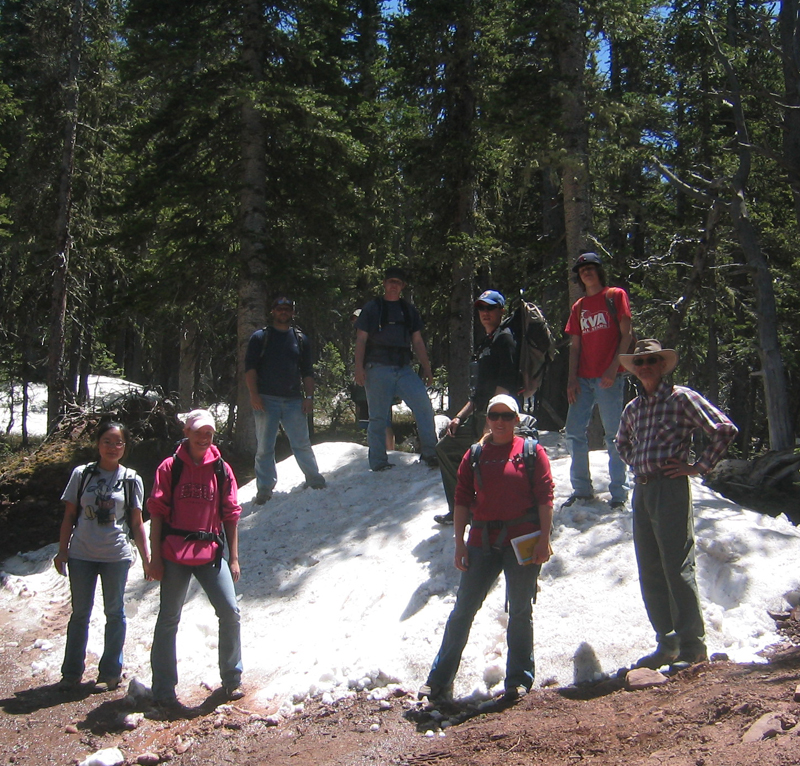
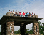
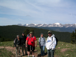
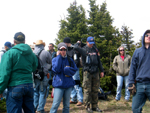
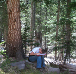
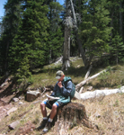
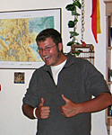
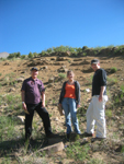
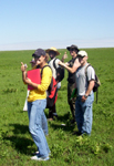
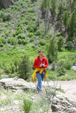
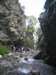
| Here are the cast of characters! Top row, far left: Dr. James Aber is standing next to a kettle lake between Blue/Bear Lakes and pointing out the dead tree that shows either tall beavers or deep snowfall in this area. Top row, left center: Jeremy, Jaimie, Brandon, and Scott at Zapata Falls; top row center right: Jue on Cordova Pass overlook; top row, far right: Preston with West Spanish Peak in the background. The second layer includes far left: Celena, Ashley, and Simeon; left center: Dallas; right center: Sam; far right: Robby, John, and Scott. Third row down includes far left: Brandon; left center: Greg; right center: David, Ashley, and Simeon; far right: Stephanie, Harry, Thomas, and Lynn. To the immediate right is Dr. Susie Aber; photo by John Barker.
| 
|
|
|
Top row Zapata photo by J.S. Aber; photo date 6/13/09. Other photos in rows one and two by S.W. Aber; photo date 6/8/09. Third row pictures by J. Herring, C. Clough, S.W. Aber, and J. Herring.
|
|

|
|
|
|
|
|
|
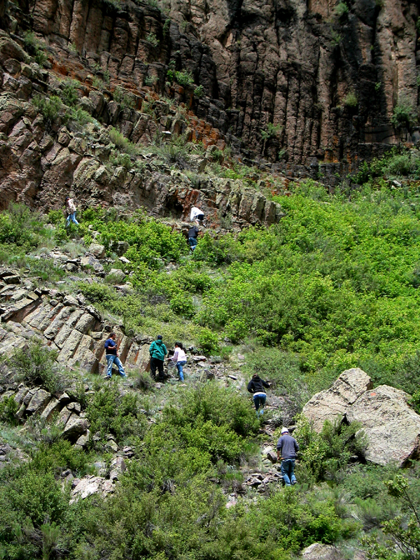
| Hells Gate shows columnar jointing from volcanics associated with the San Juan Mountains. Photos by S.W. Aber; photo date 6/10/09.
|
|

|
|
|
|
|
|
|
|
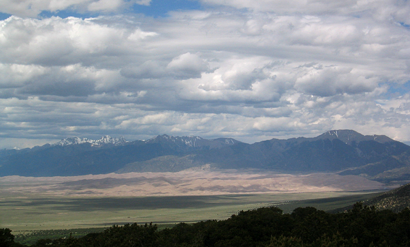
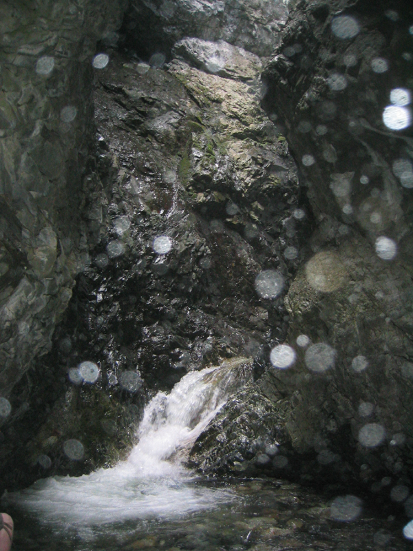
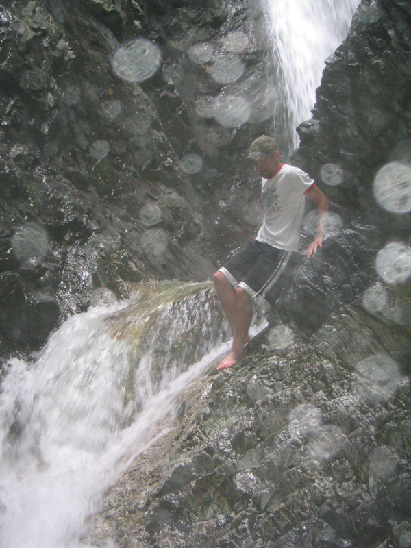
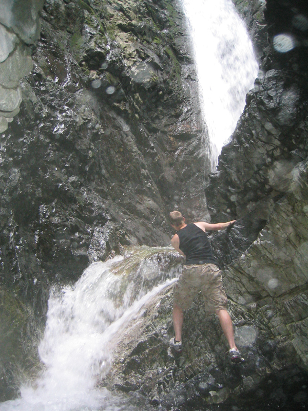
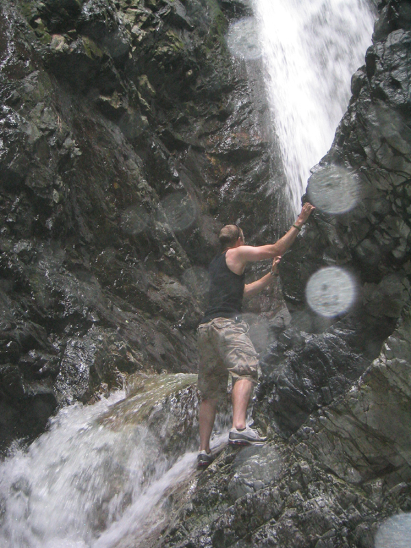
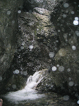
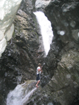
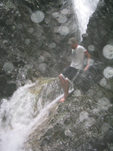
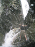
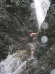
| After leaving Hell, we visited mountains, sand dunes, and waterfalls! The dunes are the Great Sand Dunes National Park and waterfall, nearby Zapata Falls. The water spray is obvious in the photos as large white spots! Photos by J.S. and S.W. Aber; photo date 6/10/09, 6/14/09.
|
|
|
|
|
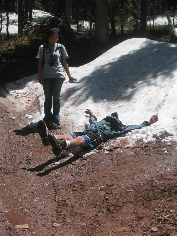
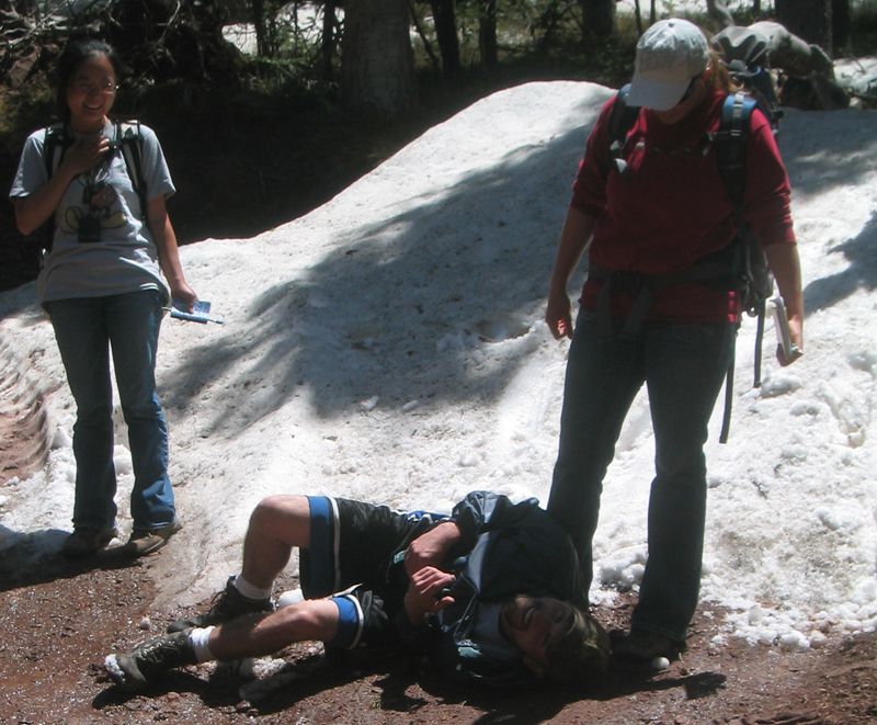
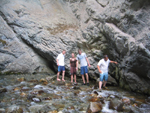
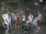
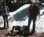
| Therefore, field geology was play and it was work! Photos by J.S. and S.W. Aber; photo date 6/14/09.
|
|
|

|
|
| It was serious and sometimes... not. Photos by J.S. and S.W. Aber; photo date 6/14/09.
|
|
|

|

|
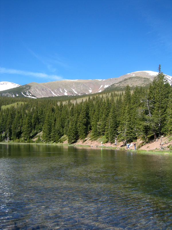
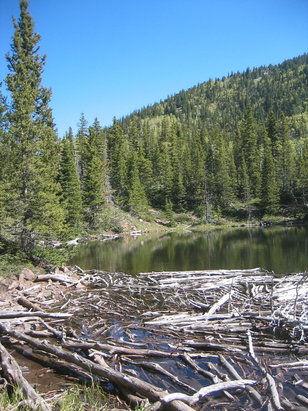
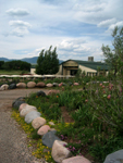
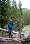
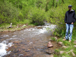
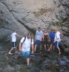
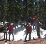
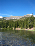
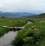
| Mountain lakes and streams were sometime natural and sometimes not. Kettle holes were created by glaciers but both natural creeks and diverted canals fill the natural depressions to keep them looking like lakes! Photos by S.W. Aber; photo date 6/12/09.
|
|
|

|

|
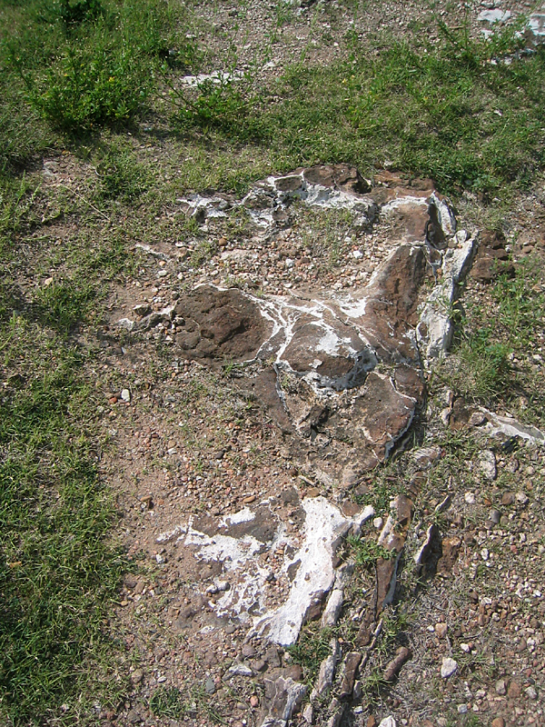
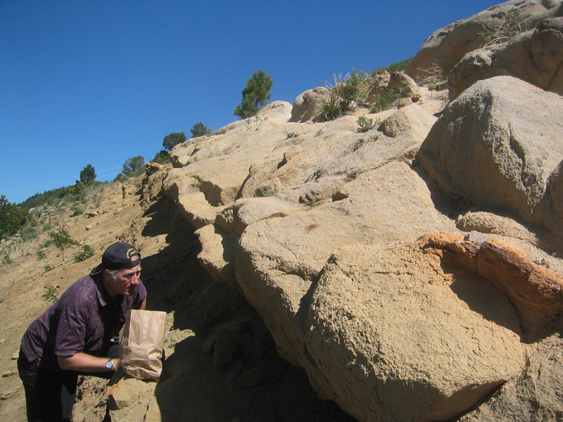
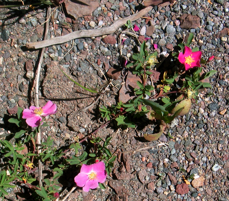
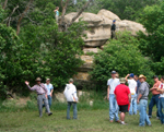
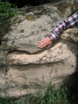
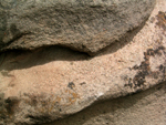
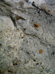
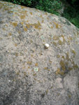
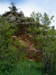
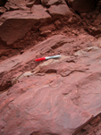
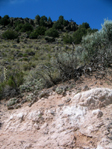
| Rock, mineral, and fossil collections were assembled from specimens gathered during mapping exercises and on a specific field trip. One of the collecting stops was this sandstone outcrop, below Mt. Maesas, where impressions of deciduous tree leaves in the sandstone were found. Among the flowers growing in the gravel was a white primrose.
|

|
|
|

|
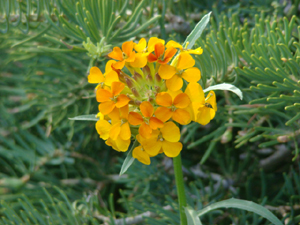
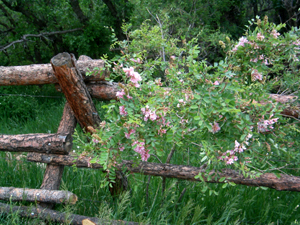
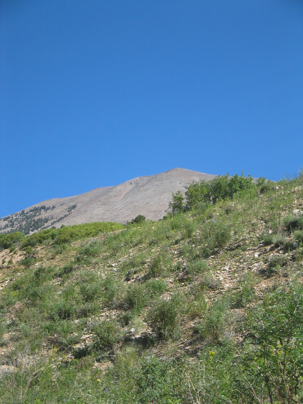
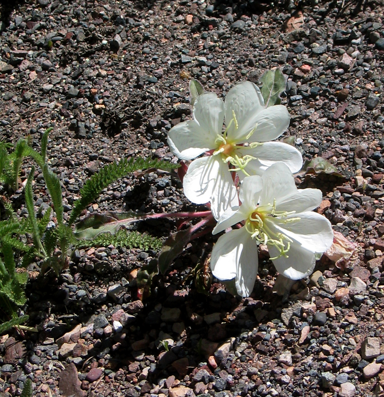
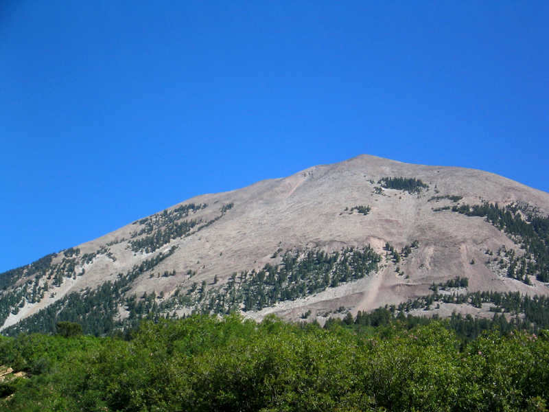
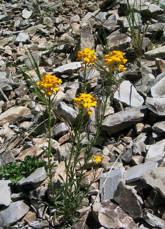
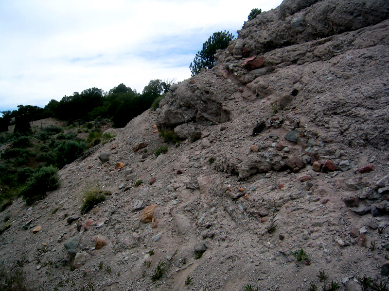
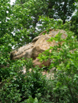
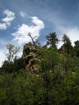
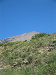
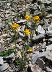
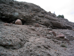
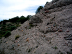
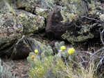
| Mt. Maestas is an intrusion with the rock composition called microgranite (left photos). It is traversed by mountain sheep but few people because of the weathering pattern. The granite spalls off and creates a rubble rock pile difficult to climb (center photos). Western wallflower found somewhere to put down roots, as did the wild rose. Photos by S.W. Aber; photo date 6/17/09.
|
|
|
|
|
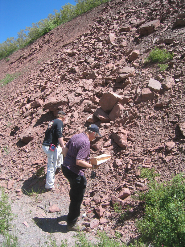
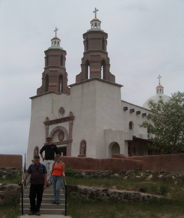
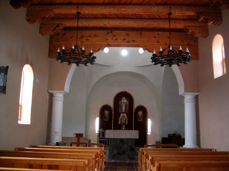
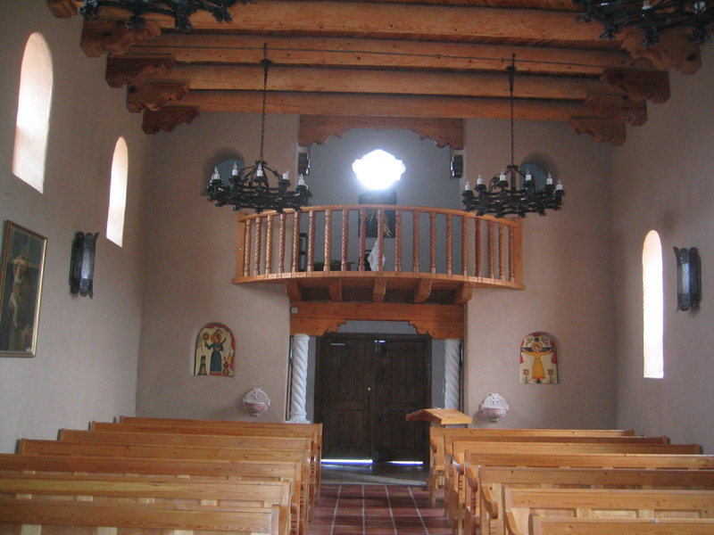
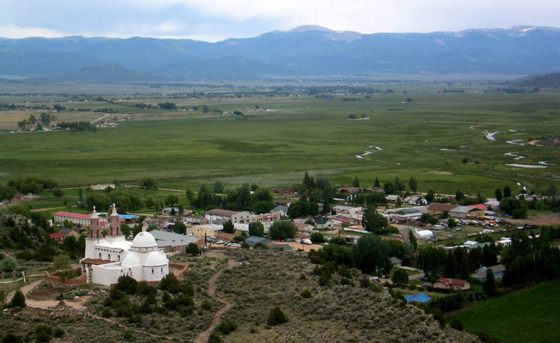
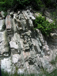
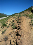
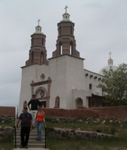
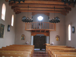
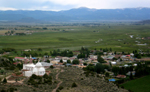
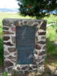
| Beyond Mt. Maesas are outcrops of red Sangre de Cristo sandstone. There were several more stops on the collecting field trip including the remnants of a pyroclastic flow where volcanic rock gathered boulders along the way. Also visited was the oldest settlement in Colorado - San Luis - 1851, where this church stands on the hill above the city. See www.frontrangeliving.com/escapes/SanLuis.htm. Photos by S.W. Aber; photo date 6/17/09.
|

|
|
|
|
| The church with a small chapel is built on a basalt lava flow above an alluvial valley. Photos by S.W. Aber; photo date 6/17/09.
|
|
|
|
|
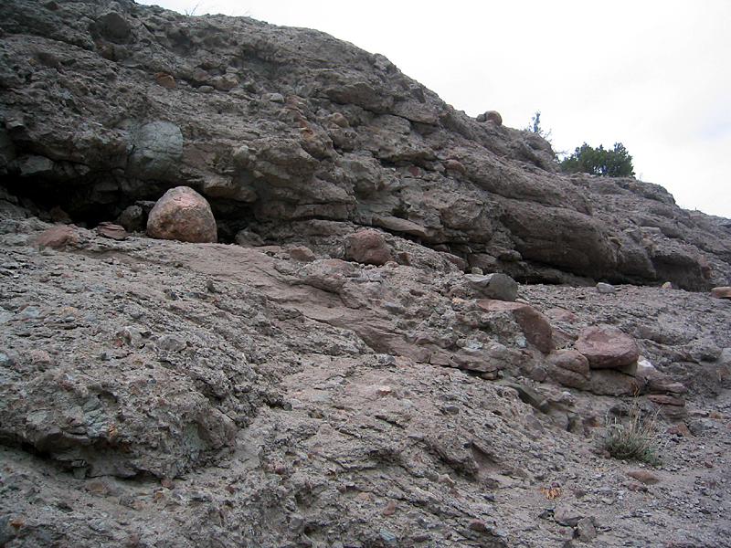
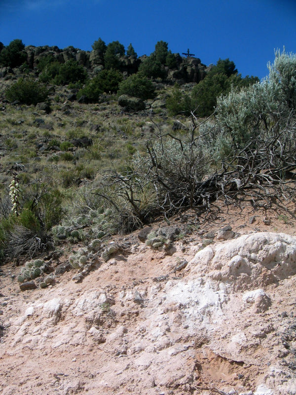
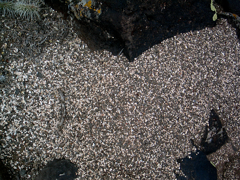
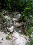
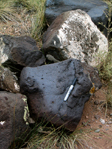
| Basalt, vesicular basalt, scoria, and caliche encrusted basalt create a home for cactus and ants! The alluvium is evident below the lava flow. Photos by S.W. Aber; photo date 6/17/09.
|
|
|
|

|
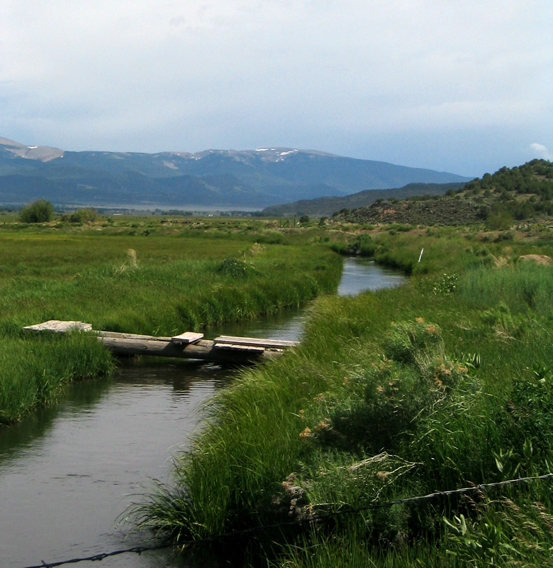
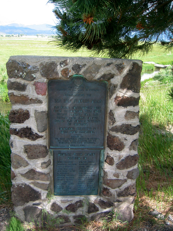
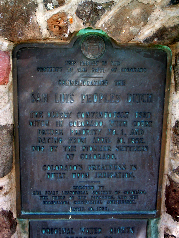
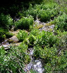
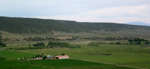
| The alluvial valley appealed to early pioneers. An irrigation ditch constructed in 1852, which allowed for viable crops and water to sustain the settlement. Photos by S.W. Aber; photo date 6/17/09.
|