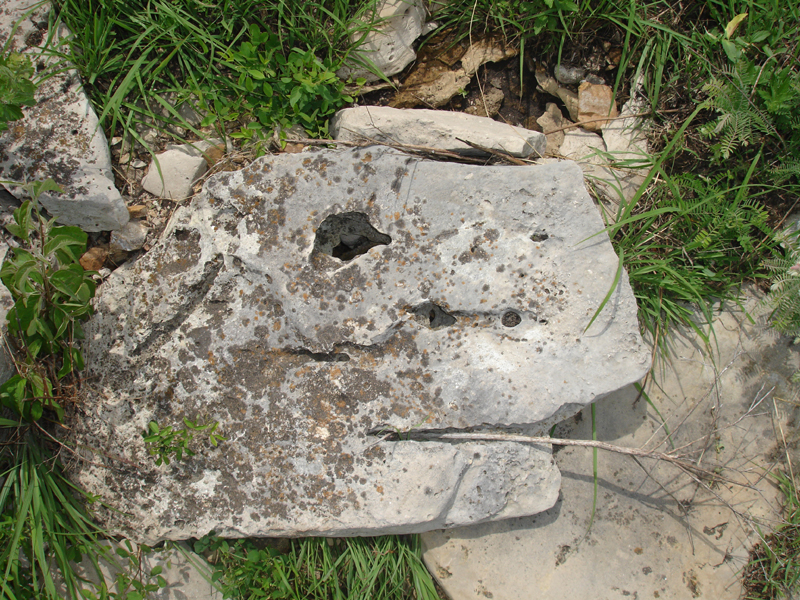
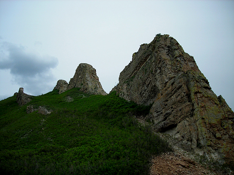
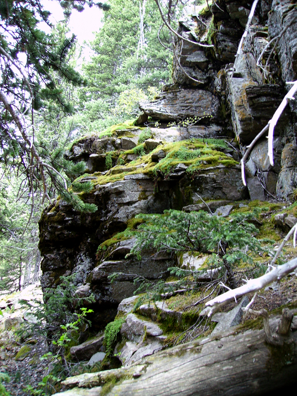
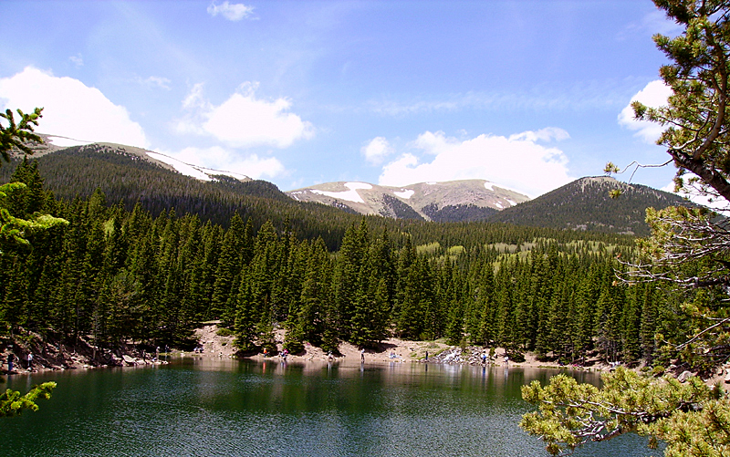
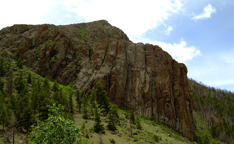
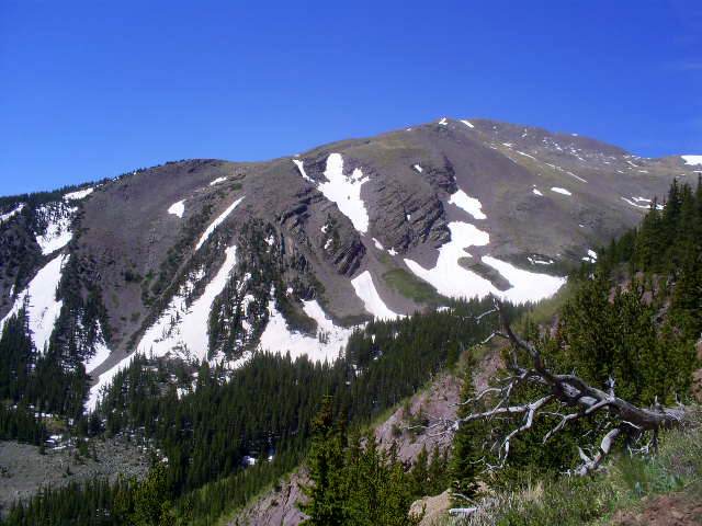
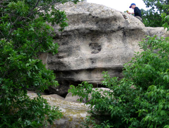
Field Geology 2009: |
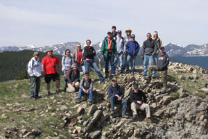 Photo by J.S. Aber; Photo date June 12, 2009 |
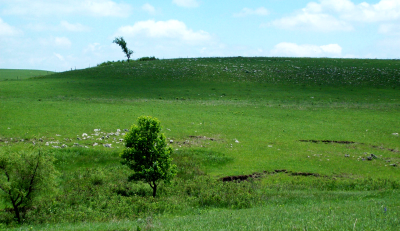
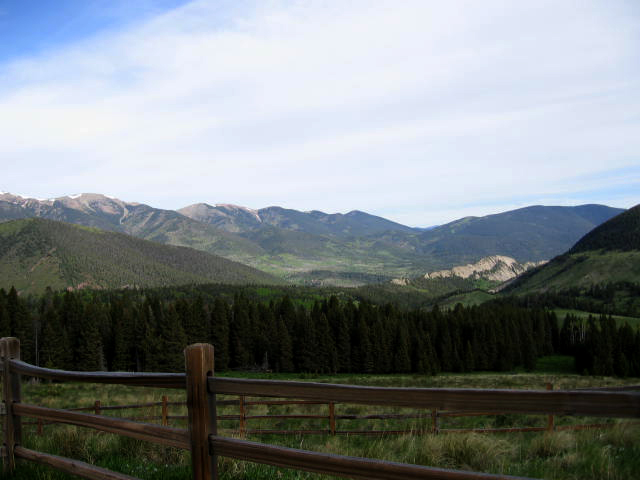
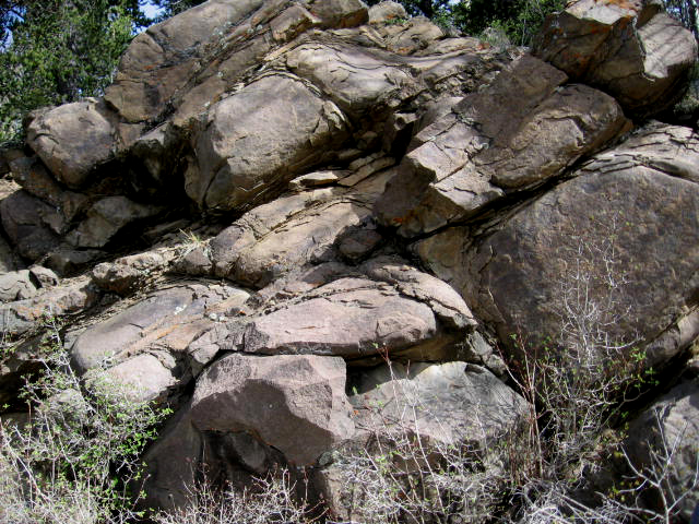
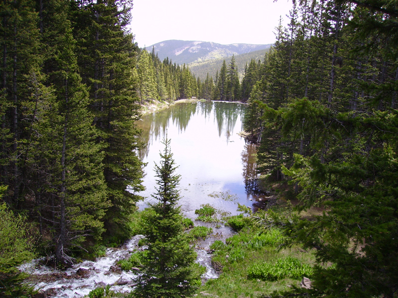
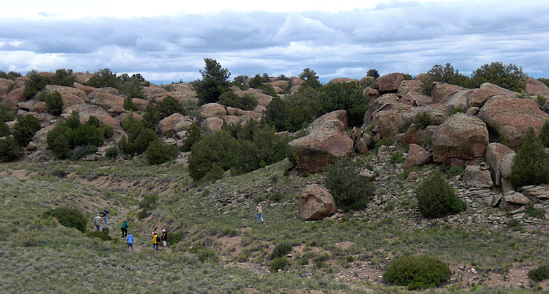
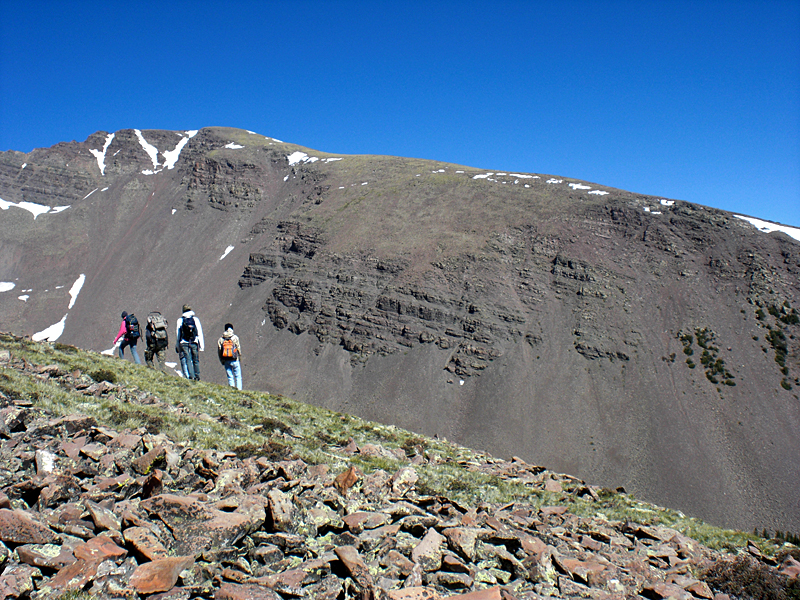
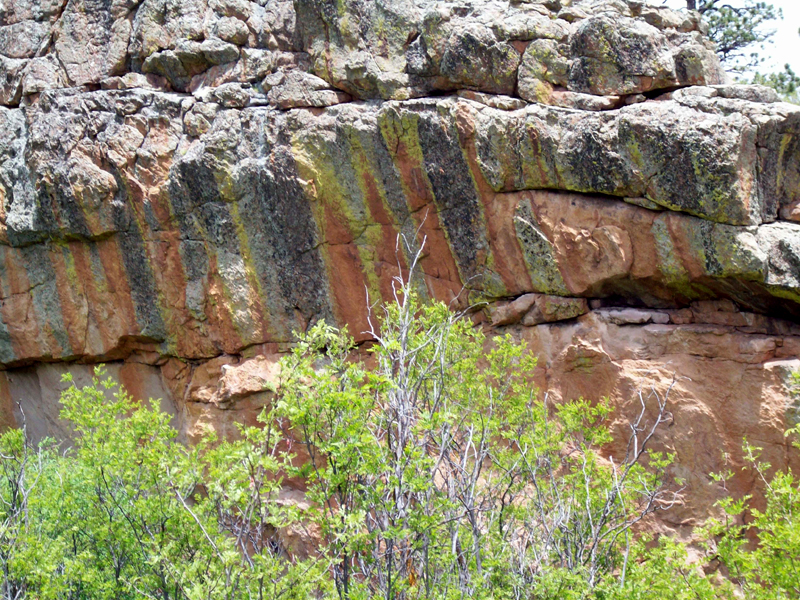
Field Geology 2009: |
Photo by J.S. Aber; Photo date June 12, 2009 |
Other submitted photos are published here and below are perspectives from the geology category. To see entries in all other categories follow links below.
|
Geology, www.geospectra.net/ fieldgeology/geology.htm |
Landscape, www.geospectra.net/ fieldgeology/landscape.htm |
Vegetation, www.geospectra.net/ fieldgeology/vegetation.htm |
|
Wildlife, www.geospectra.net/ fieldgeology/wildlife.htm |
People, www.geospectra.net/ fieldgeology/people.htm |
Atmosphere, www.geospectra.net/ fieldgeology/sky.htm |
|
|
|
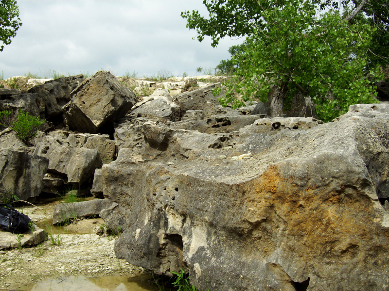
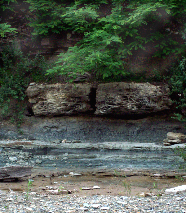
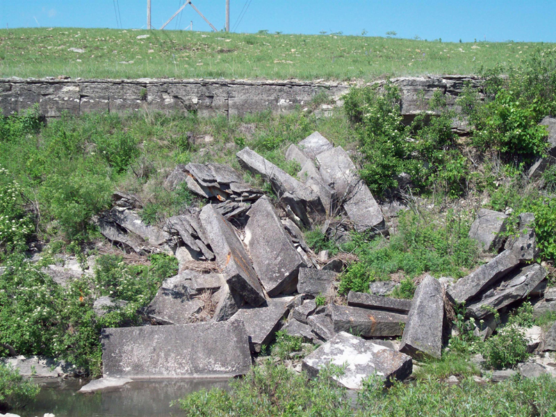
| Left: Cottonwood Limestone blocks in Kahola Lake spillway. Photo by Jaimie Herring. Center and Right: Colorful Eskridge Shale below Cottonwood Limestone in the Kahola Lake Spillway. Center photo by Greg Gantz; right photo by Brandon Milner. | ||
 |
|
|
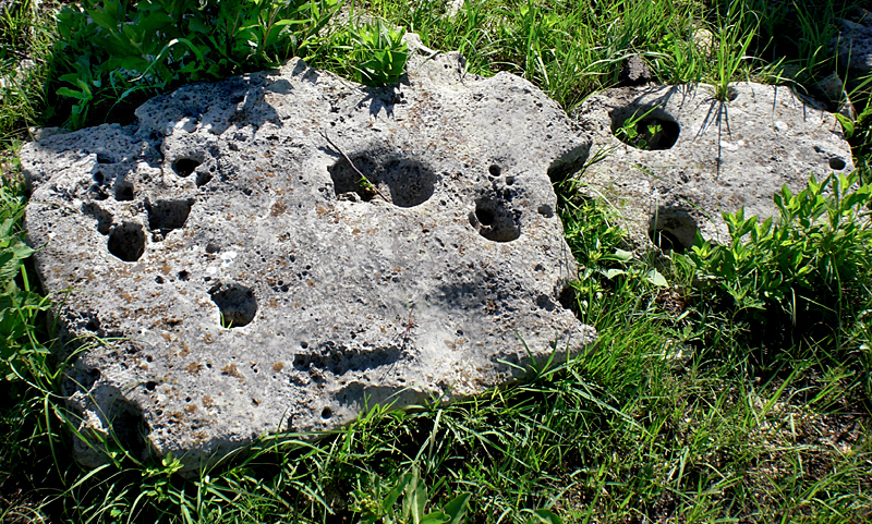
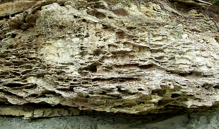
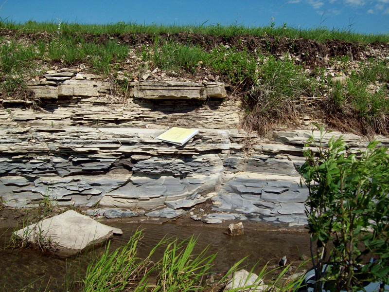
| Left: Porous Eiss Limestone at Lake Kahola. Photo by Jue Jiang. Center: Neva Limestone outcrop in the Kahola Lake Spillway. Photo by Greg Gantz. Right: Close-up of Neva with sponge-like appearance. Photo by Jaimie Herring. | ||
|
 |
|
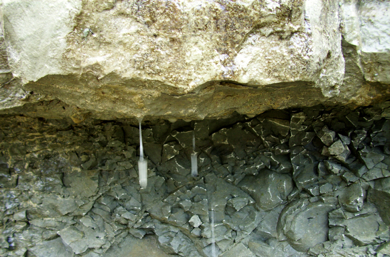
| Left: Neva Limestone dripping water. Photo by Jaimie Herring.
Center: Limestone mimetolith at Kahola - Rock Man chewing on grass. Eiss Limestone formation. Photo by Sam Somerhalder. Right: Crouse Limestone on the hill; Eiss Limestone in the center of the image. Spring located below Eiss which supports tree growth along south side of Kahola Lake. Photo by Greg Gantz. | ||
|
 |
|
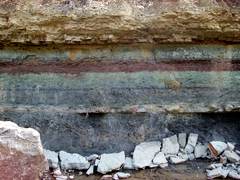
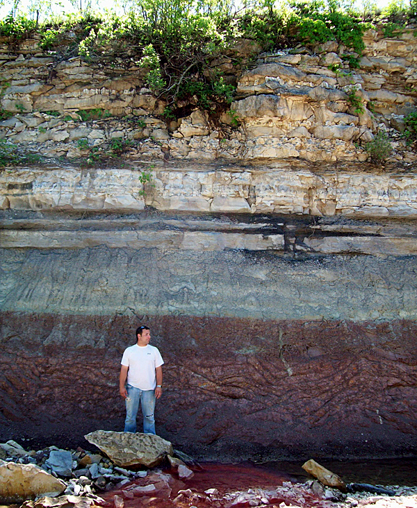
| Left: North side of roadcut along highway 150 near Elmdale. Red rock is Eskridge Shale. Photo by Jaimie Herring. Center: Fault in the Neva Limestone on Elmdale Hill. Photo by David Neubecker. Center: Limestone blocks near Cattle Pens turnpike exit, Nation Ranch. Photo by Simeon DeGraaf. | ||
|
|
|
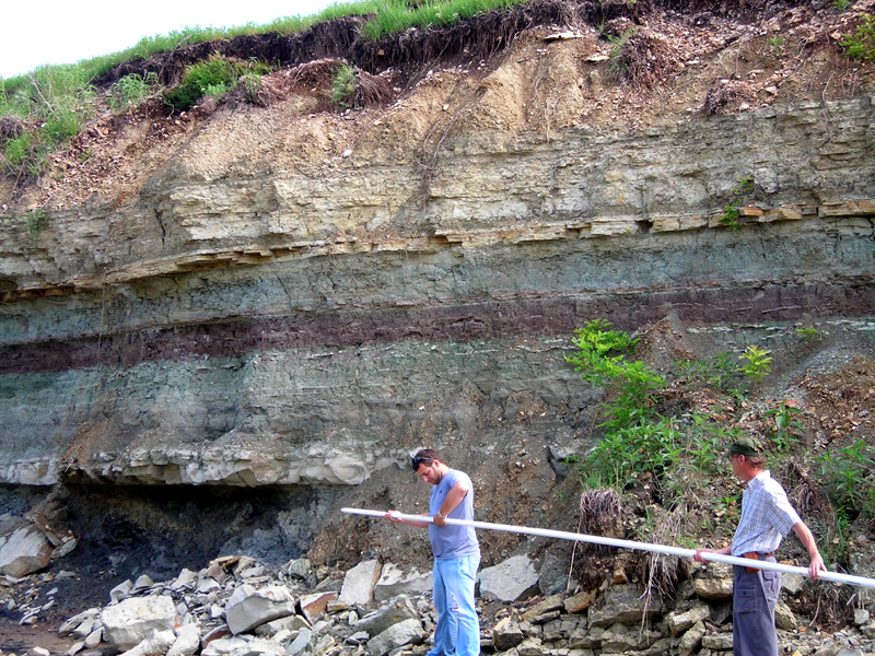
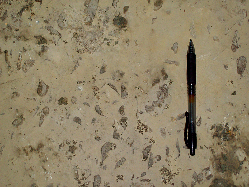
| Left: Burr Limestone at top; Legion Shale below. Photo near Cattle Pens turnpike exit, Nation Ranch. Center: Wreford Limestone with chert top formation. Speiser Shale below limestone. Photos by Greg Gantz. Right: Neva Limestone fossil content of one bed. Photo by Greg Gantz. | ||
 |
 |
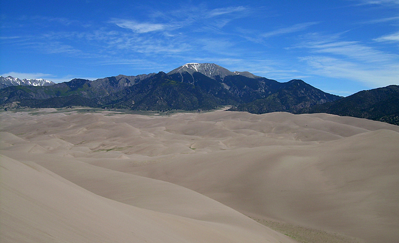 |
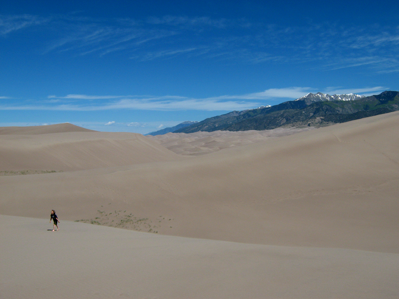
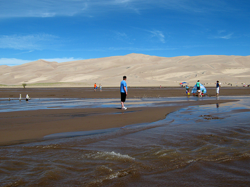
| Great Sand Dunes National Park. Center photo shows Medano Creek draining from Medano Peak. Left and center photos by Ashley Lee. Right photo by John Barker. | ||
 |
 |
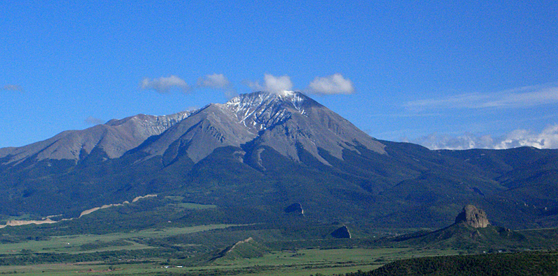 |
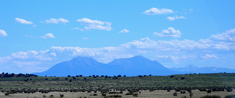
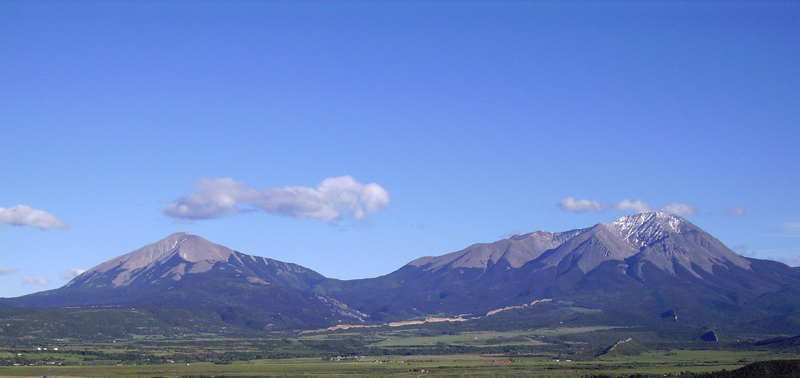
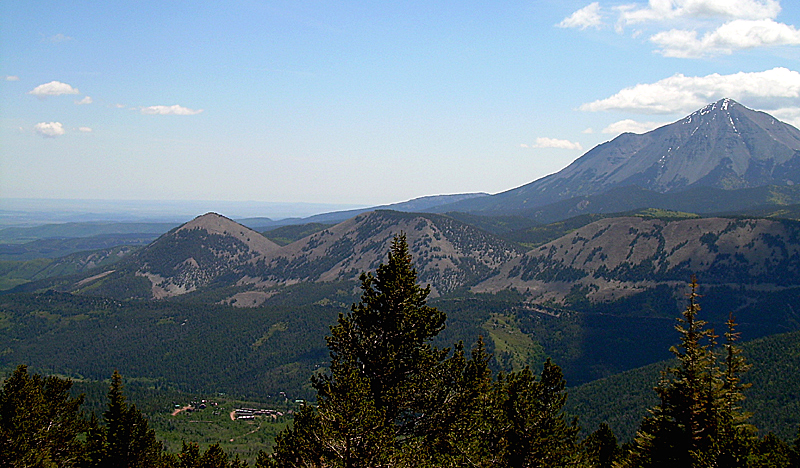
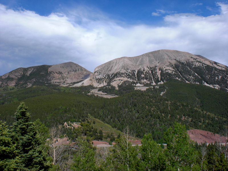
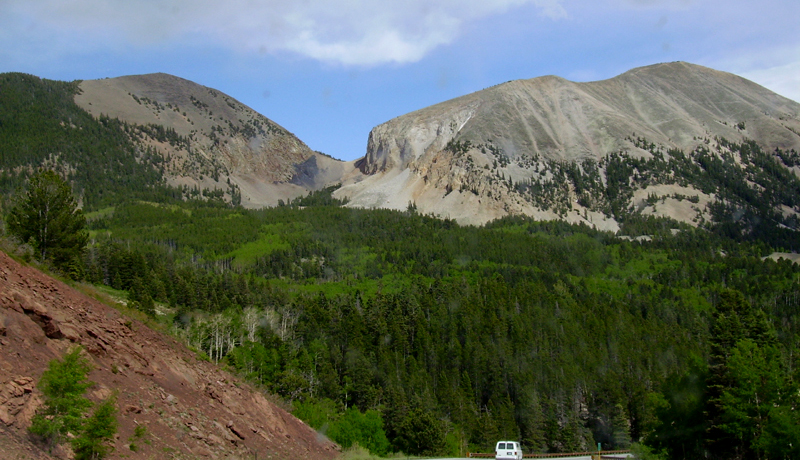
| East and West Spanish Peak intrusions. Located on the High Plains and in the Raton Basin physiographic province. Left photo approaching from the east; center and right photos, approaching from the west. Center photo has the Great Wall dike highlighted. Photo on right has Huerfano Butte as thumb shaped knob on the right. Left photo by Brandon Milner. Center photo by Thomas Wilke. Right photo by David Neubecker. | ||
 |
 |
 |
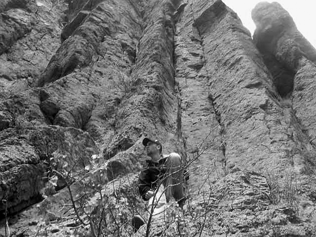
| Left photo is passing Profile Dike; center photo is Profile Dike from the west. Right photo is the Devil's Staircase Dike. Left photo is by Dallas Weaver. Center and right photos by Brandon Milner. |
||
 |
 |
 |
| Left: View from wildflower viewing area, east of Cucharas Pass on Cordova Pass Road. Center: Culebra Range from Cordova Pass. Right: View north from Cordova Pass overlook. Photos by CeLena Clough. | ||
 |
 |
 |
| Left: Scott and Thomas on dike looking toward Culebra Range. Center: Dike rock above road leading to Cordova Pass. Right: Pillow like structure of dark andesite porphyry dike on Cordova Pass road. Left photo by John Barker. Center photo by Thomas Wilke; right photo by CeLena Clough. | ||
 |
 |
 |
| Left: On top of the dike tunnel on the east side of Cordova Pass Road. Center: Kettle lake formed near Blue Lake, off highway 12 south of Cuchara. Right: Blue Lake, northeast of Bear Lake. Left and right photos by Thomas Wilke. Center photo by Preston Johnson. | ||
 |
 |
 |
| Left: Kettle lake formed near Bear Lake. Center and right: View of Culebra Range, Trinchera Peak, from trail north from Bear Lake. Dr. J. Aber in left photo. Photo left by Thomas Wilde. Center photo by CeLena Clough. Right photo by John Barker. |
||
 |
 |
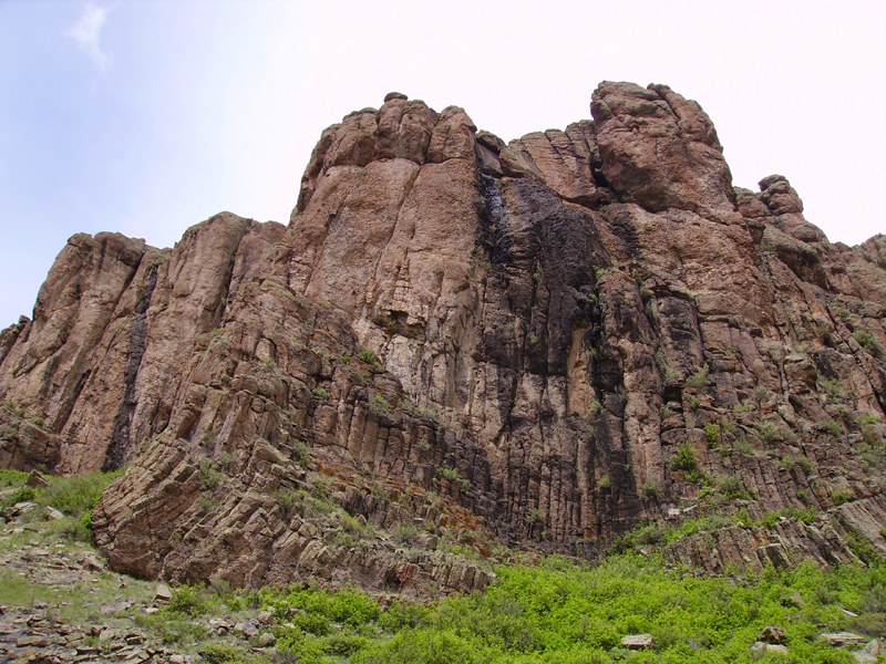 |
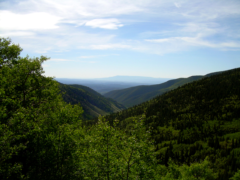
| Left: View from Bear Lake trail, looking east to White Peaks and Spanish Peaks; Cuchara Mountain resort in foreground. Center and right: Hell's Gate, west side of San Luis Valley leading into San Juan Mountains. Center: Brandon resting below the columnar jointed basalt. Photo left by John Barker. Center photo by Dallas Weaver. Right photo by Thomas Wilke. | ||
 |
 |
 |
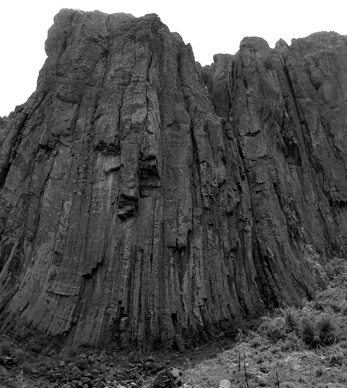
| Hell's Gate. Center: East side of Hell's Gate. Right: View north through Hell's Gate. Photo left and center by John Barker. Photo right by Simeon DeGraaf. |
||
 |
 |
 |
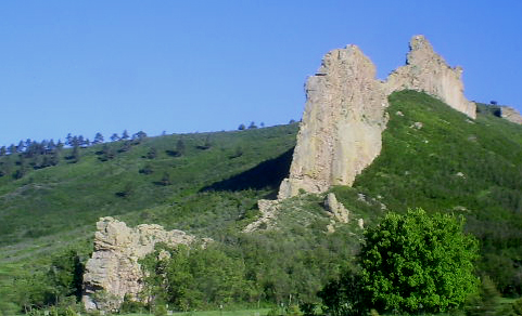
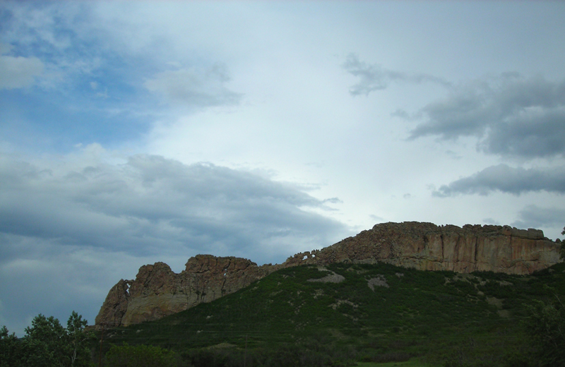
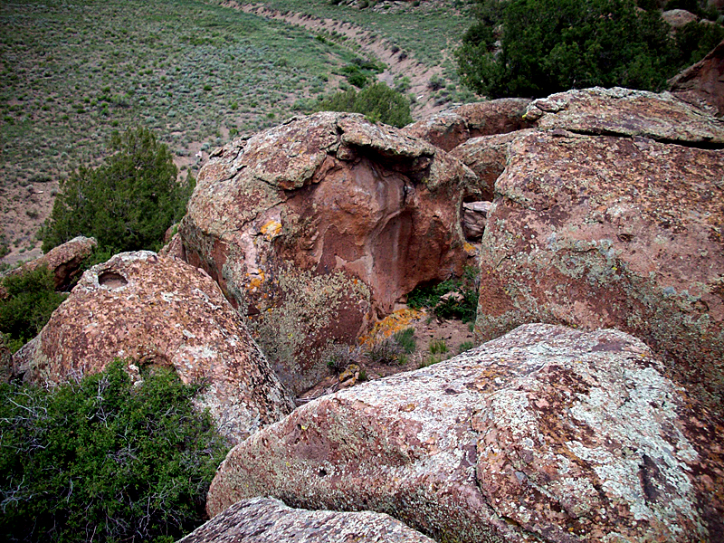
| Left and center:
Elephant Rocks, composed of granite and rhyolite, is located north of Hell's Gate and in the southwest portion of San Luis Valley. Right: View ascending Mt. Maxwell, Culebra Range. Left photo by Jue Jiang. Center photo by Simeon DeGraaf; right photo by John Barker. |
||
 |
 |
 |
| Left: Fold and faulting of Mt. Maxwell in the Sangre de Cristo Range. Center: Climbing Mt. Maxwell, above mine prospects stop. Right: Mt. Maestas and Rough Mountain from Jack Estes cabin home. Photo left by Dallas Weaver. Photos center and right by Jue Jiang. |
||
 |
 |
 |
| Left: Mt. Maestas and Rough Mountain from highway 160 just off Old LaVeta Pass road. Note van on road in foreground. Center: Cuchara Sandstone on the hill behind the Grandote Peaks golf course club house. Right: Dakota Wall gap along highway 12 north of Cuchara. Photo left by Thomas Wilke. Center photo by CeLena Clough. Right photo by Simeon DeGraaf. |
||
|
Field Geology 2009: Photographic Perspectives of Geology in Kansas and Colorado, by S. Smith www.geospectra.net/fieldgeology/scottsphotos.htm |
Field Geology 2009: Photographic Perspectives of Geology in Kansas and Colorado, by S.W. Aber www.geospectra.net/fieldgeology/photos.htm |
|
Field Geology 2009: Exploring the Flint Hills of Kansas, the High Plains and Southern Rocky Mountains of Colorado, www.geospectra.net/fieldgeology/ fieldgeology.htm |
Field Geology 2009: Exploring the Flint Hills of Kansas in Chase County, www.geospectra.net/fieldgeology/ kansasrocks.htm |
| Field Geology 2009: Exploring the High Plains and Southern Rockies of Colorado, www.geospectra.net/fieldgeology/coloradorocks.htm | Field Geology 2009: Identifying Rocks from Kansas and Colorado, www.geospectra.net/fieldgeology/rocks.htm |
Webpage created June 14, 2009; latest update June 30, 2009. Copyright S.W. Aber & all students who submitted images. E-mail: saber@emporia.edu.